PCF 1
PCF 1 is an university building in Harris County, Texas. PCF 1 is situated nearby to the food court South Servery, as well as near the university School of Social Sciences.| Tap on a place to explore it |
- Type: University building
- Also known as: “PCF”
- Roof shape: round
Places of Interest Nearby
Highlights include Rice University’s Baker Institute for Public Policy and Shepherd School of Music.
Rice University’s Baker Institute for Public Policy
University
 The Rice University's Baker Institute for Public Policy is an American think tank housed on the campus of Rice University in Houston, Texas. Founded in 1993, it functions as a center for public policy research. Rice University’s Baker Institute for Public Policy is situated 400 feet northwest of PCF 1.
Shepherd School of Music
University

Photo: Musician555, CC BY-SA 3.0.
The Shepherd School of Music is a music school located on the campus of Rice University in Houston, Texas. From its inception in 1974 under dean Samuel Jones, the Shepherd School has emphasized orchestral, chamber music, and opera as the central elements of its performing curriculum. Shepherd School of Music is situated 1,200 feet west of PCF 1.
Jesse H. Jones Graduate School of Business
University

Photo: Wikimedia, CC BY-SA 2.0.
The Jesse H. Jones Graduate School of Business is one of two business schools at Rice University, a private research university in Houston, Texas, along with the Virani Undergraduate School of Business. Jesse H. Jones Graduate School of Business is situated 880 feet northwest of PCF 1.
Places in the Area
Nearby places include Rice Village and Texas Medical Center.
Rice Village
Neighborhood

Photo: WhisperToMe, CC0.
Rice Village is a shopping district in Houston, Texas, United States. Rice Village is a collection of shops, restaurants and pubs, situated about a half-mile west of the center of Rice University's 300-acre campus.
Texas Medical Center
Suburb
 The Texas Medical Center is a neighborhood in south-central Houston, Texas, United States. It is immediately south of the Museum District and west of Texas State Highway 288.
Houston Museum District
Suburb
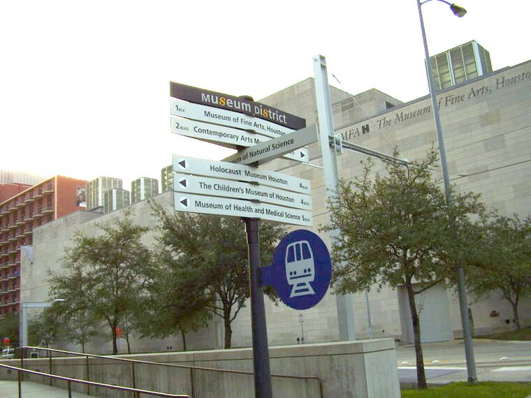
Photo: WhisperToMe, Public domain.
The Houston Museum District is an association of 21 museums, cultural centers and community organizations located in Houston, Texas, dedicated to promoting art, science, history, and culture.
PCF 1
- Categories: building and education
- Location: Harris County, Texas, United States, North America
- View on OpenStreetMap
Latitude
29.71596° or 29° 42′ 57″ northLongitude
-95.40144° or 95° 24′ 5″ westLevels
1Open location code
76X6PH8X+9COpenStreetMap ID
way 922153981OpenStreetMap feature
building=universityOpenStreetMap attribute
roof-shape=round
This page is based on OpenStreetMap, Wikidata, and Wikimedia Commons.
We’d love your help improving our open data sources. Thank you for contributing.
Satellite Map
Discover PCF 1 from above in high-definition satellite imagery.
Places with the Same Name
Discover other places named “PCF 1”.
Notable Places Nearby
Highlights include South Servery and School of Social Sciences.
Nearby Places
Explore places such as COVID19 Testing Site (Baylor Genetics) and PCF 2.
Texas: Must-Visit Destinations
Delve into Houston, Austin, Dallas, and San Antonio.
Curious Places to Discover
Uncover intriguing places from every corner of the globe.
About Mapcarta. Data © OpenStreetMap contributors and available under the Open Database License". Text is available under the CC BY-SA 4.0 license, except for photos, directions, and the map. Photo: Wikimedia, CC0.