Deckungsgraben
Deckungsgraben is a bunker in Rheinberg, Wesel, North Rhine-Westphalia. Access is restricted and requires permission. Deckungsgraben is situated nearby to the sports venue Sportcenter SV Concordia Ossenberg, as well as near the pitch Rasenplatz.| Tap on a place to explore it |
Places of Interest Nearby
Highlights include Forschungsrevier im Orsoyer Rheinbogen and Rheinvorland nördlich der Ossenberger Schleuse.
Forschungsrevier im Orsoyer Rheinbogen
Nature reserve
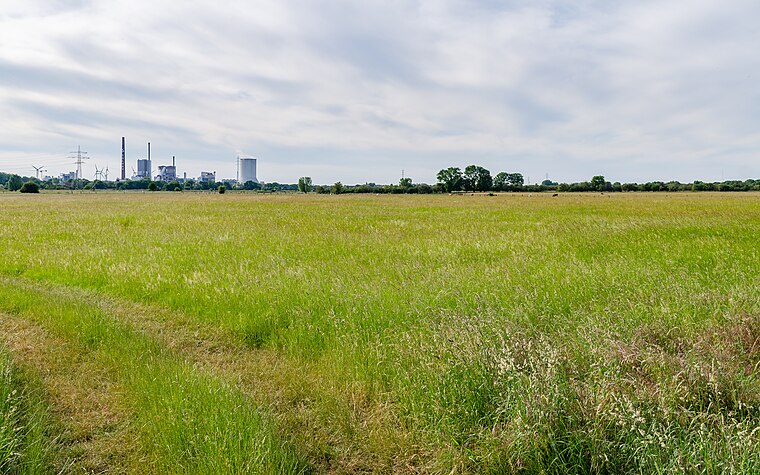
Photo: Carschten, CC BY-SA 4.0.
Forschungsrevier im Orsoyer Rheinbogen is a nature reserve.
Rheinvorland nördlich der Ossenberger Schleuse
Nature reserve

Photo: Carschten, CC BY-SA 4.0.
Rheinvorland nördlich der Ossenberger Schleuse is a nature reserve.
Millingen (bei Rheinberg) railway station
Railway station

Photo: Stefan Flöper, CC BY-SA 4.0.
Millingen (bei Rheinberg) railway station is situated 2½ km west of Deckungsgraben.
Places in the Area
Nearby places include Spellen and Alpen.
Spellen
Suburb

Photo: Wikimedia, CC BY-SA 3.0.
Spellen is a suburb, which is situated 5 km north of Deckungsgraben.
Alpen
Village

Photo: Xantener, CC BY-SA 3.0.
Alpen is a municipality in the district of Wesel, North Rhine-Westphalia, Germany. Alpen is situated 5 km west of Deckungsgraben.
Voerde
Town

Photo: Threedots, CC BY-SA 3.0.
Voerde is a town in the district of Wesel, in North Rhine-Westphalia, Germany. It is situated on the right bank of the Rhine, approximately 10 kilometres south-east of Wesel, and 20 km north of Duisburg. Voerde is situated 7 km northeast of Deckungsgraben.
Deckungsgraben
- Access is restricted and requires permission.
- Type: Bunker
- Categories: building, historic site, and military installation
- Location: Rheinberg, Wesel, Düsseldorf, North Rhine-Westphalia, Germany, Central Europe, Europe
- View on OpenStreetMap
Latitude
51.56755° or 51° 34′ 3″ northLongitude
6.5877° or 6° 35′ 16″ eastOpen location code
9F38HH9Q+23OpenStreetMap ID
way 927783219OpenStreetMap feature
building=yesOpenStreetMap feature
historic=yesOpenStreetMap feature
military=bunker
This page is based on OpenStreetMap, Wikidata, and Wikimedia Commons.
We’d love your help improving our open data sources. Thank you for contributing.
Satellite Map
Discover Deckungsgraben from above in high-definition satellite imagery.
Places with the Same Name
Discover other places named “Deckungsgraben”.
Notable Places Nearby
Highlights include Sportcenter SV Concordia Ossenberg and Rasenplatz.
Nearby Places
Explore places such as 91 Ossenberg and Kläranlage Rheinberg.
North Rhine-Westphalia: Must-Visit Destinations
Delve into Cologne, Düsseldorf, Bonn, and Dortmund.
Curious Bunkers to Discover
Uncover intriguing bunkers from every corner of the globe.
About Mapcarta. Data © OpenStreetMap contributors and available under the Open Database License". Text is available under the CC BY-SA 4.0 license, except for photos, directions, and the map. Photo: Daniel Schwen, CC BY-SA 2.5.