Kościół pw. Świętego Franciszka z Asyżu
Kościół pw. Świętego Franciszka z Asyżu is a church in Gmina Myślenice, Myślenice County, Małopolskie which is located on Zdrojowa. Kościół pw. Świętego Franciszka z Asyżu is situated nearby to the fire station Ochotnicza Straż Pożarna Myślenice - Zarabie, as well as near the stadium Stadion KS Dalin.| Tap on a place to explore it |
- Type: Church
- Denomination: Roman Catholic
- Address: Zdrojowa 1c, Myślenice, 32-400
Places of Interest Nearby
Highlights include Castle in Myślenice and Church of St. Mary in Myślenice.
Castle in Myślenice
Ruins
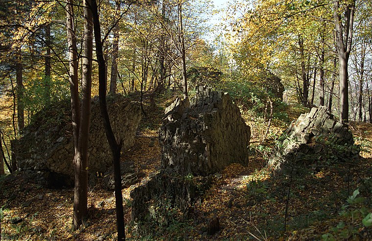
Photo: Wikimedia, CC BY-SA 3.0.
Castle in Myślenice is a ruins, which is situated 460 metres south of Kościół pw. Świętego Franciszka z Asyżu.
Church of St. Mary in Myślenice
Church

Photo: Wikimedia, CC BY-SA 3.0.
Church of St. Mary in Myślenice is situated 1½ km northwest of Kościół pw. Świętego Franciszka z Asyżu.
Uklejna
Peak
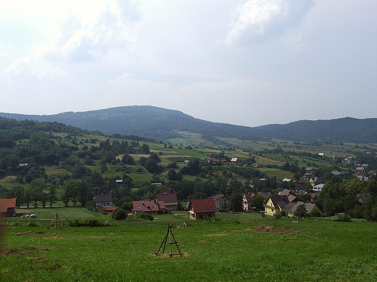
Photo: Wikimedia, CC BY-SA 4.0.
Uklejna is a peak, which is situated 2½ km southeast of Kościół pw. Świętego Franciszka z Asyżu.
Places in the Area
Nearby places include Myślenice and Stróża.
Myślenice
Town
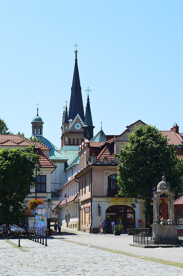
Photo: Scotch Mist, CC BY-SA 4.0.
Myślenice is a town in southern Poland situated in the Lesser Poland Voivodeship, 30 km south of Kraków. The town is divided into six districts. The most popular of them, Zarabie, is a famous tourist destination.
Stróża
Village
Stróża is a village in the administrative district of Gmina Pcim, within Myślenice County, Lesser Poland Voivodeship, in southern Poland. Stróża is situated 3½ km southwest of Kościół pw. Świętego Franciszka z Asyżu.
Osieczany
Village
Osieczany is a village in the administrative district of Gmina Myślenice, within Myślenice County, Lesser Poland Voivodeship, in southern Poland. Osieczany is situated 3½ km northeast of Kościół pw. Świętego Franciszka z Asyżu.
Kościół pw. Świętego Franciszka z Asyżu
- Categories: building, place of worship, and religion
- Location: Gmina Myślenice, Myślenice County, Małopolskie, Poland, Central Europe, Europe
- View on OpenStreetMap
Latitude
49.82151° or 49° 49′ 17″ northLongitude
19.94582° or 19° 56′ 45″ eastOpen location code
8FXXRWCW+J8OpenStreetMap ID
way 929014453OpenStreetMap feature
amenity=place_of_worshipOpenStreetMap feature
building=churchOpenStreetMap attribute
denomination=roman_catholic
This page is based on OpenStreetMap, Wikidata, and Wikimedia Commons.
We’d love your help improving our open data sources. Thank you for contributing.
Satellite Map
Discover Kościół pw. Świętego Franciszka z Asyżu from above in high-definition satellite imagery.
Places with the Same Name
Discover other places named “Kościół pw. Świętego Franciszka z Asyżu”.
Notable Places Nearby
Highlights include Ochotnicza Straż Pożarna Myślenice - Zarabie and Stadion KS Dalin.
Nearby Places
Explore places such as Kancelaria and Plebania.
Małopolskie: Must-Visit Destinations
Delve into Kraków, Auschwitz-Birkenau, Oświęcim, and Zakopane.
Curious Churches to Discover
Uncover intriguing churches from every corner of the globe.
About Mapcarta. Data © OpenStreetMap contributors and available under the Open Database License". Text is available under the CC BY-SA 4.0 license, except for photos, directions, and the map. Photo: Sicherlich, CC BY 3.0.