1914-1919 et 1939-1945
1914-1919 et 1939-1945 is a memorial in La Chaux-du-Dombief, Arrondissement of Saint-Claude, Bourgogne-Franche-Comté. 1914-1919 et 1939-1945 is situated nearby to the church Église Saint-Point de La Chaux-du-Dombief, as well as near the town hall Mairie La Chaux du Dombief.| Tap on a place to explore it |
Places of Interest Nearby
Highlights include Église Saint-Point de La Chaux-du-Dombief and Pic de l’Aigle.
Église Saint-Point de La Chaux-du-Dombief
Church
 Église Saint-Point de La Chaux-du-Dombief is a church.

Chapelle Saint-Vincent d’Ilay
Church

Photo: Espirat, CC BY-SA 4.0.
Chapelle Saint-Vincent d’Ilay is a church, which is situated 1½ km northwest of 1914-1919 et 1939-1945.
Places in the Area
Nearby places include Le Frasnois and Saint-Laurent-en-Grandvaux.
Le Frasnois
Village

Photo: PRA, CC BY-SA 3.0.
Le Frasnois is a commune in the Jura department in Bourgogne-Franche-Comté in eastern France. Le Frasnois is situated 3½ km north of 1914-1919 et 1939-1945.
Saint-Laurent-en-Grandvaux
Village

Photo: Pmau, CC BY-SA 4.0.
Saint-Laurent-en-Grandvaux is a commune in the Jura department in the Bourgogne-Franche-Comté region in eastern France. Saint-Laurent-en-Grandvaux is situated 5 km southeast of 1914-1919 et 1939-1945.
Fort-du-Plasne
Village
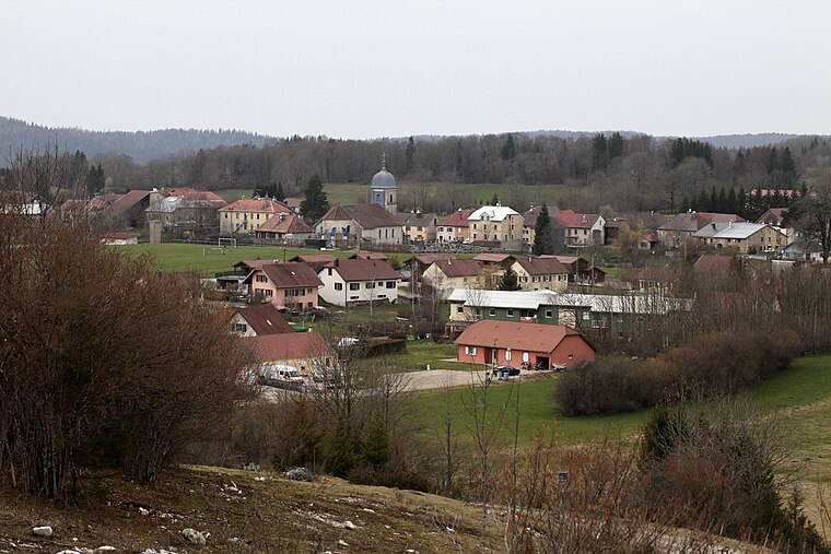
Photo: Pmau, CC BY-SA 4.0.
Fort-du-Plasne is a commune in the Jura department in Bourgogne-Franche-Comté in eastern France. Fort-du-Plasne is situated 7 km east of 1914-1919 et 1939-1945.
1914-1919 et 1939-1945
- Type: Memorial
- Inscription: “La Chaux du Dombief A Ses Enfants Morts Pour La Patrie”
- Category: historic site
- Location: La Chaux-du-Dombief, Arrondissement of Saint-Claude, Jura, Bourgogne-Franche-Comté, France, Europe
- View on OpenStreetMap
Latitude
46.60487° or 46° 36′ 18″ northLongitude
5.90331° or 5° 54′ 12″ eastOpen location code
8FR7JW33+W8OpenStreetMap ID
way 931750663OpenStreetMap feature
historic=memorial
This page is based on OpenStreetMap, Wikidata, and Wikimedia Commons.
We’d love your help improving our open data sources. Thank you for contributing.
Satellite Map
Discover 1914-1919 et 1939-1945 from above in high-definition satellite imagery.
Notable Places Nearby
Highlights include Mairie La Chaux du Dombief and La Chaux-du-Dombief.
Nearby Places
Explore places such as La Chaux-du-Dombief and Chaux du Dombief.
Bourgogne-Franche-Comté: Must-Visit Destinations
Delve into Nièvre, Dijon, Besançon, and Vesoul.
Curious Memorials to Discover
Uncover intriguing memorials from every corner of the globe.
About Mapcarta. Data © OpenStreetMap contributors and available under the Open Database License". Text is available under the CC BY-SA 4.0 license, except for photos, directions, and the map. Photo: Juraastro, CC BY-SA 3.0.