C24
C24 is a building in Hesse, Germany. C24 is situated nearby to the convention center KBW, as well as near the scenic viewpoint Aussichtsplattform FAIR-Baustelle.| Tap on a place to explore it |
Places of Interest Nearby
Highlights include Vogelschutzgehölz Pechbusch and Düne Stahlberg I.
Vogelschutzgehölz Pechbusch
Nature reserve
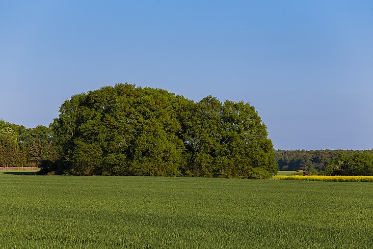
Photo: Ratki, CC BY-SA 4.0.
Vogelschutzgehölz Pechbusch is a nature reserve.
Düne Stahlberg I
Nature reserve

Photo: Wikimedia, Copyrighted free use.
Düne Stahlberg I is a nature reserve.
Düne Stahlberg II
Nature reserve

Photo: Wikimedia, CC BY-SA 3.0 de.
Düne Stahlberg II is a nature reserve.
Places in the Area
Nearby places include Erzhausen and Riedbahn.
Erzhausen

Photo: Exilsaarländer, CC BY-SA 2.0 de.
Erzhausen is a village and a municipality in southern Hesse, Germany. It is part of the district of Darmstadt-Dieburg. It has about 7,900 inhabitants. Wixhausen, a borough of the City of Darmstadt, is just South of Erzhausen.
Riedbahn
Suburb

Photo: Bjoertvedt, CC BY-SA 4.0.
Riedbahn is a suburb, which is situated 7 km southwest of C24.
C24
- Type: Building
- Also known as: “Container 24”
- Location: Hesse, Germany, Central Europe, Europe
- View on OpenStreetMap
Latitude
49.93248° or 49° 55′ 57″ northLongitude
8.6791° or 8° 40′ 45″ eastOpen location code
8FXCWMJH+XJOpenStreetMap ID
way 93359215OpenStreetMap feature
building=yes
This page is based on OpenStreetMap, Wikidata, and Wikimedia Commons.
We’d love your help improving our open data sources. Thank you for contributing.
Satellite Map
Discover C24 from above in high-definition satellite imagery.
Places with the Same Name
Discover other places named “C24”.
Notable Places Nearby
Highlights include KBW and Aussichtsplattform FAIR-Baustelle.
Nearby Places
Explore places such as C26 and C27.
Hesse: Must-Visit Destinations
Delve into Frankfurt, Wiesbaden, Darmstadt, and Kassel.
Curious Buildings to Discover
Uncover intriguing buildings from every corner of the globe.
About Mapcarta. Data © OpenStreetMap contributors and available under the Open Database License". Text is available under the CC BY-SA 4.0 license, except for photos, directions, and the map. Photo: Pedelecs, CC BY-SA 3.0.