Sachkerah Woods Playground
Sachkerah Woods Playground is a playground in Bronx, New York. Sachkerah Woods Playground is situated nearby to the synagogue Nathan Straus Jewish Center, as well as near United States Post Office.| Tap on a place to explore it |
Places of Interest Nearby
Highlights include Montefiore Medical Center West Campus Moses Division Hospital and North Central Bronx Hospital.
Montefiore Medical Center West Campus Moses Division Hospital
Hospital
Montefiore Einstein Medical Center is an academic medical center that is the primary teaching hospital of the Albert Einstein College of Medicine in the Bronx, New York City. Montefiore Medical Center West Campus Moses Division Hospital is situated 1,500 feet south of Sachkerah Woods Playground.
North Central Bronx Hospital
Hospital

Photo: Jim.henderson, Public domain.
NYC Health + Hospitals/North Central Bronx, better known as North Central Bronx Hospital, is a municipal hospital founded in 1976 and operated by NYC Health + Hospitals. North Central Bronx Hospital is situated 1,300 feet south of Sachkerah Woods Playground.
Woodlawn station
Metro station
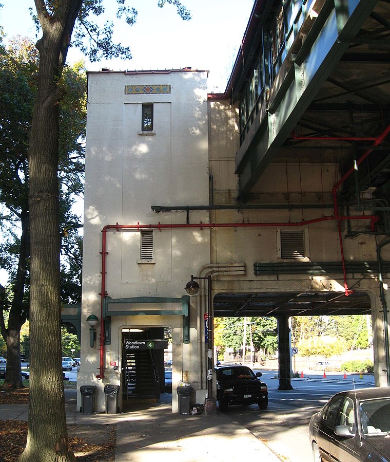
Photo: Jim.henderson, Public domain.
The Woodlawn station is the northern terminal of the New York City Subway's IRT Jerome Avenue Line. The station is located at the intersection of Bainbridge and Jerome Avenues, outside Woodlawn Cemetery. Woodlawn station is situated 1,200 feet northeast of Sachkerah Woods Playground.
Places in the Area
Nearby places include Norwood and Williams Bridge.
Norwood
Neighborhood
Norwood, also known as Bainbridge, is a residential neighborhood in the northwest Bronx, New York City, U.S. It is bound by Van Cortlandt Park and Woodlawn Cemetery to the north, the Bronx River to the east, and Mosholu Parkway to the southwest.
Williams Bridge
Neighborhood
Williamsbridge is a neighborhood geographically located in the north-central portion of the Bronx in New York City. Its boundaries, starting from the north and moving clockwise are East 222nd Street to the north, Boston Road to the east, Adee Avenue to the south, and the Bronx River to the west.
Bedford Park
Neighborhood

Photo: Jim.henderson, CC0.
Bedford Park is a residential neighborhood in the northwest Bronx, New York City, adjacent to the New York Botanical Garden. Its boundaries, starting from the north and moving clockwise, are: Mosholu Parkway to the north, Webster Avenue to the east, East 196th Street to the south, and Jerome Avenue to the west.
Sachkerah Woods Playground
- Type: Playground
- Category: recreation area
- Location: Bronx, New York, Mid-Atlantic, United States, North America
- View on OpenStreetMap
Latitude
40.88393° or 40° 53′ 2″ northLongitude
-73.88157° or 73° 52′ 54″ westOperator
NYC ParksOpen location code
87G8V4M9+H9OpenStreetMap ID
way 935882222OpenStreetMap feature
leisure=playground
This page is based on OpenStreetMap, Wikidata, and Wikimedia Commons.
We’d love your help improving our open data sources. Thank you for contributing.
Satellite Map
Discover Sachkerah Woods Playground from above in high-definition satellite imagery.
Notable Places Nearby
Highlights include Nathan Straus Jewish Center and United States Post Office.
Nearby Places
Explore places such as El Valle Restaurant and Avian Driving School.
New York: Must-Visit Destinations
Delve into New York City, Buffalo, Manhattan, and West Side.
Curious Playgrounds to Discover
Uncover intriguing playgrounds from every corner of the globe.
About Mapcarta. Data © OpenStreetMap contributors and available under the Open Database License". Text is available under the CC BY-SA 4.0 license, except for photos, directions, and the map. Photo: eviltomthai, CC BY 2.0.