Hogar de Ancianos San Francisco de Asís
Hogar de Ancianos San Francisco de Asís is a social service facility in Naranjito, Quepos, Puntarenas Province which is located on Calle 10. Hogar de Ancianos San Francisco de Asís is situated nearby to the place of worship Testigos de Jehová, as well as near the church Iglesia de Naranjito.| Tap on a place to explore it |
Places of Interest Nearby
Highlights include Quepos La Managua Airport.
Quepos La Managua Airport
Aerodrome
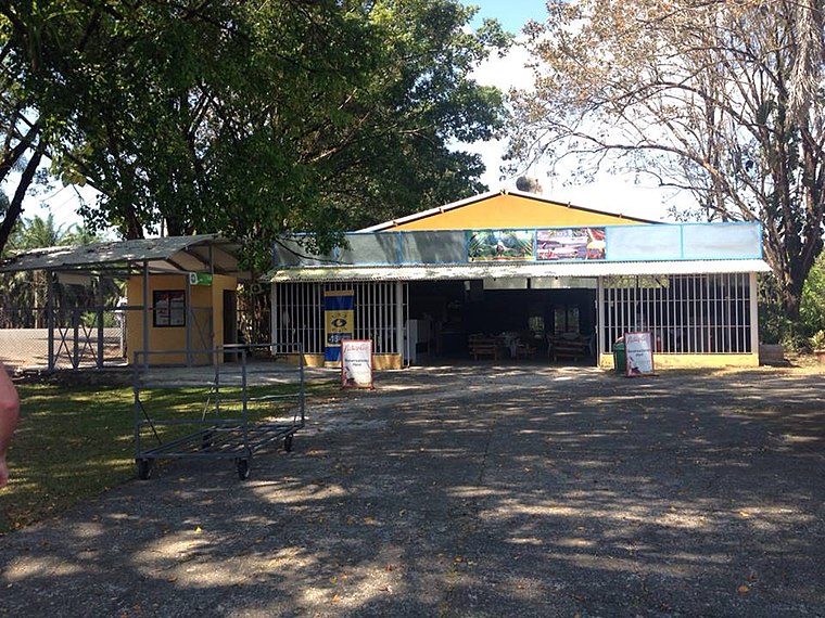
Photo: Wikiauthor3, CC BY-SA 3.0.
La Managua Airport is an airport approximately 3 kilometres east of the Pacific coastal city of Quepos, Costa Rica, serving this city as well as the Manuel Antonio National Park and other tourist attractions in the central part of Puntarenas Province. Quepos La Managua Airport is situated 3½ km southwest of Hogar de Ancianos San Francisco de Asís.
Places in the Area
Nearby places include Quepos.
Quepos
Town

Photo: Wikimedia, CC BY-SA 4.0.
Quepos is a small town in Costa Rica near the Manuel Antonio National Park. It is the closest town offering full tourist services, but has lost much of its charm and innocence due to overdevelopment as it became the poster child destination of the eco-tourism crowd. Quepos is situated 7 km southwest of Hogar de Ancianos San Francisco de Asís.
Hogar de Ancianos San Francisco de Asís
- Type: Social service facility
- Address: Calle 10, Naranjito
- Category: building
- Location: Naranjito, Quepos, Puntarenas Province, Costa Rica, Central America, North America
- View on OpenStreetMap
Latitude
9.46786° or 9° 28′ 4″ northLongitude
-84.10788° or 84° 6′ 28″ westOpen location code
66XQFV9R+4ROpenStreetMap ID
way 936148913OpenStreetMap feature
amenity=social_facilityOpenStreetMap feature
building=yes
This page is based on OpenStreetMap, Wikidata, and Wikimedia Commons.
We’d love your help improving our open data sources. Thank you for contributing.
Satellite Map
Discover Hogar de Ancianos San Francisco de Asís from above in high-definition satellite imagery.
Places with the Same Name
Discover other places named “Hogar de Ancianos San Francisco de Asís”.
Notable Places Nearby
Highlights include Testigos de Jehová and Iglesia de Naranjito.
Nearby Places
Explore places such as Super La Única and Bar Tipi.
Costa Rica: Must-Visit Destinations
Delve into San José, Alajuela, Puerto Limón, and Liberia.
Curious Social Service Facilities to Discover
Uncover intriguing social service facilities from every corner of the globe.
About Mapcarta. Data © OpenStreetMap contributors and available under the Open Database License". Text is available under the CC BY-SA 4.0 license, except for photos, directions, and the map. Photo: Henry Zbyszynski, CC BY 2.0.