Instituto de Educación Secundaria Trevenque
Instituto de Educación Secundaria Trevenque is a school in Zubia, La, Granada, Andalusia which is located on Calle Hermanos Álvarez Quintero. Instituto de Educación Secundaria Trevenque is situated nearby to the park Parque Los olivos, as well as near the ruins Cortijo Don Juan.| Tap on a place to explore it |
- Email: 18700244.edu@juntadeandalucia.es
- Type: School
- Also known as: “IES Trevenque”
- Address: Calle Hermanos Álvarez Quintero 2
Places of Interest Nearby
Highlights include Biblioteca Pública Municipal de La Zubia - Miguel Hernández and Iglesia de la Asunción.
Biblioteca Pública Municipal de La Zubia - Miguel Hernández
Library

Photo: Lalluviamola, CC0.
Biblioteca Pública Municipal de La Zubia - Miguel Hernández is a library, which is situated 1 km west of Instituto de Educación Secundaria Trevenque.
Iglesia de la Asunción
Church

Photo: Wikimedia, CC BY-SA 4.0.
Iglesia de la Asunción is a church, which is situated 1¼ km west of Instituto de Educación Secundaria Trevenque.
Baños árabes
Monument

Photo: MartaLC, CC BY-SA 4.0.
Baños árabes is a monument, which is situated 1½ km west of Instituto de Educación Secundaria Trevenque.
Places in the Area
Nearby places include La Zubia and Huétor Vega.
La Zubia
Town
Photo: Wikimedia, CC BY-SA 4.0.
La Zubia is a municipality located in the province of Granada, Spain. According to the 2010 census, the city has a population of 18,240 inhabitants.

Lancha del Genil
Village
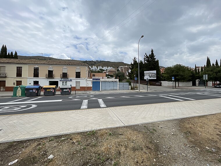
Photo: Fergunet, CC BY-SA 3.0.
Lancha del Genil is a village, which is situated 4½ km north of Instituto de Educación Secundaria Trevenque.
Instituto de Educación Secundaria Trevenque
Latitude
37.12385° or 37° 7′ 26″ northLongitude
-3.57156° or 3° 34′ 18″ westOperator
Government of AndalusiaOpen location code
8C9R4CFH+G9OpenStreetMap ID
way 93780672OpenStreetMap feature
amenity=school
This page is based on OpenStreetMap, Wikidata, and Wikimedia Commons.
We’d love your help improving our open data sources. Thank you for contributing.
Satellite Map
Discover Instituto de Educación Secundaria Trevenque from above in high-definition satellite imagery.
Notable Places Nearby
Highlights include Parque Los olivos and Cortijo Don Juan.
Nearby Places
Explore places such as IES Trevenque and Libreros.
Granada: Must-Visit Destinations
Delve into Granada, Almuñécar, Alhama de Granada, and Portugos.
Curious Schools to Discover
Uncover intriguing schools from every corner of the globe.
About Mapcarta. Data © OpenStreetMap contributors and available under the Open Database License". Text is available under the CC BY-SA 4.0 license, except for photos, directions, and the map. Photo: Tango7174, CC BY-SA 4.0.