Kindergarten Freihof
Kindergarten Freihof is a kindergarten in Oberrieden, Horgen District, Canton of Zurich which is located on Freihofstrasse. Kindergarten Freihof is situated nearby to the pitch Fussballplatz Pünt, as well as near the sports venue Hallenbad Pünt.| Tap on a place to explore it |
Places of Interest Nearby
Highlights include Oberrieden Dorf railway station and Ref. Kirche Oberrieden.
Oberrieden Dorf railway station
Railway station
 Oberrieden Dorf railway station (German: Bahnhof Oberrieden Dorf is a railway station in Switzerland, in the upper part of the town of Oberrieden. The station is located on the Thalwil–Arth-Goldau railway, within fare zone 150 of the Zürcher Verkehrsverbund. Oberrieden Dorf railway station is situated 240 metres northeast of Kindergarten Freihof.
Ref. Kirche Oberrieden
Church

Photo: Paebi, CC BY-SA 3.0.
Ref. Kirche Oberrieden is a church, which is situated 210 metres northeast of Kindergarten Freihof.
Oberrieden railway station
Railway station

Photo: Abderitestatos, CC BY 3.0.
Oberrieden railway station is a railway station in Switzerland, on the banks of Lake Zurich in the town of Oberrieden. The station is on the Lake Zurich left bank railway line, within fare zone 150 of the Zürcher Verkehrsverbund. Oberrieden railway station is situated 540 metres northeast of Kindergarten Freihof.
Places in the Area
Nearby places include Thalwil and Horgen.
Thalwil
Town

Photo: Iotatau, CC BY-SA 3.0.
Thalwil is a municipality and town in the district of Horgen in the canton of Zürich in Switzerland. The municipality includes two parts: Thalwil and Gattikon.
Horgen

Photo: Roland zh, CC BY-SA 3.0.
Horgen is the principal town of the district of Horgen in the canton of Zurich in Switzerland. The inhabitants are called Horgner. The western village of Horgenberg belongs also to the municipality.
Langnau am Albis
Village
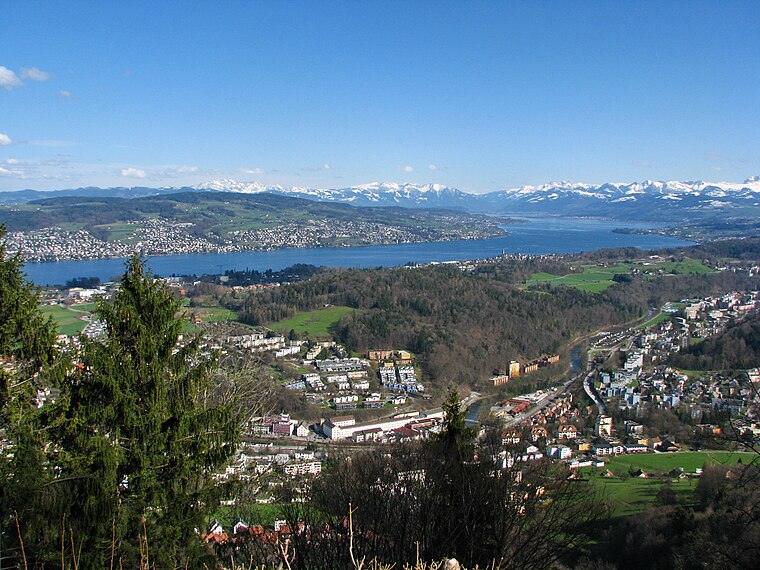
Photo: Roland zh, CC BY-SA 3.0.
Langnau am Albis is a village in the district of Horgen in the canton of Zürich in Switzerland. Langnau am Albis is situated 3 km northwest of Kindergarten Freihof.
Kindergarten Freihof
- Type: Kindergarten
- Address: Freihofstrasse 12, Oberrieden, 8942
- Categories: building and education
- Location: Oberrieden, Horgen District, Canton of Zurich, Switzerland, Central Europe, Europe
- View on OpenStreetMap
Latitude
47.27527° or 47° 16′ 31″ northLongitude
8.57536° or 8° 34′ 31″ eastOpen location code
8FVC7HGG+44OpenStreetMap ID
way 93784746OpenStreetMap feature
amenity=kindergartenOpenStreetMap feature
building=kindergarten
This page is based on OpenStreetMap, Wikidata, and Wikimedia Commons.
We’d love your help improving our open data sources. Thank you for contributing.
Satellite Map
Discover Kindergarten Freihof from above in high-definition satellite imagery.
Places with the Same Name
Discover other places named “Kindergarten Freihof”.
Notable Places Nearby
Highlights include Fussballplatz Pünt and Hallenbad Pünt.
Nearby Places
Explore places such as Langweg and Sekundarschule Langweg.
Switzerland: Must-Visit Destinations
Delve into Zurich, Berne, Geneva, and Basel.
Curious Kindergartens to Discover
Uncover intriguing kindergartens from every corner of the globe.
About Mapcarta. Data © OpenStreetMap contributors and available under the Open Database License". Text is available under the CC BY-SA 4.0 license, except for photos, directions, and the map. Photo: Wikimedia, CC0.