Godsbanekollegiet
Godsbanekollegiet is a dormitory in Aarhus Municipality, Central Jutland. Godsbanekollegiet is situated nearby to the park Den Grønne Kile, as well as near the college Aarhus School of Architecture.| Tap on a place to explore it |
Places of Interest Nearby
Highlights include Aarhus School of Architecture and ARoS Art Museum.
Aarhus School of Architecture
College
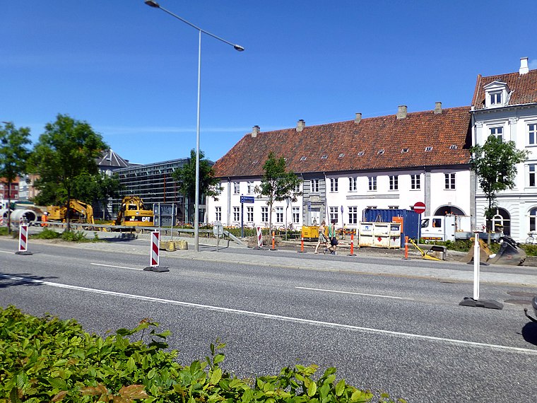
Photo: Nico-dk, CC BY-SA 3.0.
The Aarhus School of Architecture was founded in 1965 in Aarhus, Denmark. Along with the Royal Danish Academy of Fine Arts, School of Architecture in Copenhagen, it is responsible for the education of architects in Denmark. Aarhus School of Architecture is situated 210 metres northeast of Godsbanekollegiet.
ARoS Art Museum
Museum

Photo: Jonwickmann, CC BY 3.0.
ARoS is an art museum in Aarhus, Denmark. The museum was established in 1859 and is the oldest public art museum in Denmark outside Copenhagen. On 7 April 2004, ARoS opened with exhibitions in a brand new modern building, 10 stories tall with a total floor area of 20,700 m² and designed by Danish architects Schmidt Hammer Lassen. ARoS Art Museum is situated 660 metres east of Godsbanekollegiet.
Town Hall
Town hall

Photo: Nico-dk, CC BY-SA 3.0.
Aarhus City Hall is the city hall of Aarhus, Denmark. The decision to build a new city hall was taken during a city hall meeting in 1937. The new building was inaugurated 2 June 1941, designed by architects Arne Jacobsen and Erik Møller. Town Hall is situated 1 km east of Godsbanekollegiet.
Places in the Area
Nearby places include Midtbyen and Latin Quarter.
Midtbyen
Neighborhood

Photo: Wikimedia, CC BY-SA 4.0.
Midtbyen, also known as Aarhus Center or City, is the inner part of Aarhus. Midtbyen is part of district Aarhus C, mainly with postal code 8000, together with Vesterbro, Nørre Stenbro Trøjborg and Frederiksbjerg and has a population of around 90000.
Latin Quarter
Neighborhood

Photo: RhinoMind, CC BY-SA 3.0.
The Latin Quarter in Aarhus is the oldest part of the city and is itself part of the inner city. The quarter comprise the streets of Badstuegade, Klostergade, Volden, Studsgade, Borggade, Rosensgade, Mejlgade and Graven, with Pustervig Torv as the main square.
Aarhus

Photo: Dmitri Popov, CC BY-SA 3.0.
Aarhus is the main city on the Jutland peninsula in Denmark. "City of Cafés" is a moniker the city wears with pride: its roster of coffeeshops exemplifies Aarhus' elegant mix of cosmopolitan city life and quaint small-town charm.
Godsbanekollegiet
- Type: Dormitory
- Categories: building and residential building
- Location: Aarhus Municipality, Central Jutland, Denmark, Nordic countries, Europe
- View on OpenStreetMap
Latitude
56.15169° or 56° 9′ 6″ northLongitude
10.18974° or 10° 11′ 23″ eastLevels
5Open location code
9F8G552Q+MVOpenStreetMap ID
way 938342039OpenStreetMap feature
building=dormitory
This page is based on OpenStreetMap, Wikidata, and Wikimedia Commons.
We’d love your help improving our open data sources. Thank you for contributing.
Satellite Map
Discover Godsbanekollegiet from above in high-definition satellite imagery.
Notable Places Nearby
Highlights include Den Grønne Kile and Else Marie Pades Plads.
Nearby Places
Explore places such as Thomas Koppels Gade and Thomas Koppels Gade/S. Frichs Vej.
Denmark: Must-Visit Destinations
Delve into Copenhagen, Aarhus, Odense, and Aalborg.
Curious Dormitories to Discover
Uncover intriguing dormitories from every corner of the globe.
About Mapcarta. Data © OpenStreetMap contributors and available under the Open Database License". Text is available under the CC BY-SA 4.0 license, except for photos, directions, and the map. Photo: Wikimedia, CC BY-SA 3.0.