Gymnasiet HHX Ringkøbing
Gymnasiet HHX Ringkøbing is a school in Ringkøbing-Skjern Municipality, Central Jutland. Gymnasiet HHX Ringkøbing is situated nearby to the school Ringkjøbing Gymnasium, as well as near Det Kristne Gymnasium.| Tap on a place to explore it |
Places of Interest Nearby
Highlights include Ringkjøbing Gymnasium and Ringkøbing railway station.
Ringkjøbing Gymnasium
School
Ringkjøbing Gymnasium is a small gymnasium in the town of Ringkøbing, Denmark. Ringkjøbing Gymnasium is situated 130 metres south of Gymnasiet HHX Ringkøbing.
Ringkøbing railway station
Railway station

Photo: Taxiarchos228, FAL.
Ringkøbing railway station is a railway station serving the market town of Ringkøbing in West Jutland, Denmark. It is located in central Ringkøbing, to the northeast of the town centre, and immediately adjacent to the Ringkøbing bus station. Ringkøbing railway station is situated 550 metres west of Gymnasiet HHX Ringkøbing.
Rindum Church
Church

Photo: Bococo, CC BY-SA 3.0.
Rindum Church is situated 480 metres east of Gymnasiet HHX Ringkøbing.
Places in the Area
Nearby places include Ringkøbing and No.
Ringkøbing

Photo: Elgaard, CC BY-SA 3.0.
Ringkøbing is an old town of 10,000 people in West Jutland on the Ringkøbing Fjord. It has quant small streets and a central square.
No
Village
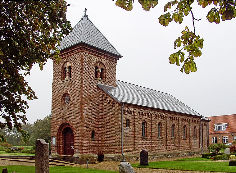
Photo: Bococo, CC BY-SA 3.0.
No is a small village located in Ringkøbing-Skjern Municipality, in Central Denmark Region. No Church built in 1877 is located in the village. No is situated 4 km northeast of Gymnasiet HHX Ringkøbing.
Hee
Village

Photo: Wikimedia, Public domain.
Hee is a village located in the Ringkøbing-Skjern Municipality, in the Central Denmark Region. The village is served by Hee railway station on the Esbjerg-Struer railway line. Hee is situated 6 km north of Gymnasiet HHX Ringkøbing.
Gymnasiet HHX Ringkøbing
- Type: School
- Category: education
- Location: Ringkøbing-Skjern Municipality, Central Jutland, Denmark, Nordic countries, Europe
- View on OpenStreetMap
Latitude
56.09463° or 56° 5′ 41″ northLongitude
8.25882° or 8° 15′ 32″ eastOpen location code
9F8C37V5+VGOpenStreetMap ID
way 938748986OpenStreetMap feature
amenity=school
This page is based on OpenStreetMap, Wikidata, and Wikimedia Commons.
We’d love your help improving our open data sources. Thank you for contributing.
Satellite Map
Discover Gymnasiet HHX Ringkøbing from above in high-definition satellite imagery.
Notable Places Nearby
Highlights include Det Kristne Gymnasium and Brohuset - Centre under Handicap og Psykiatri.
Nearby Places
Explore places such as Sommerfuglen and Fem elementer.
Denmark: Must-Visit Destinations
Delve into Copenhagen, Aarhus, Odense, and Aalborg.
Curious Schools to Discover
Uncover intriguing schools from every corner of the globe.
About Mapcarta. Data © OpenStreetMap contributors and available under the Open Database License". Text is available under the CC BY-SA 4.0 license, except for photos, directions, and the map. Photo: Wikimedia, CC BY-SA 3.0.