Lüssumer Schnellimbiß
Lüssumer Schnellimbiß is a fast food restaurant in Bremen, Germany which is located on Lüssumer Straße. Lüssumer Schnellimbiß is situated nearby to the sports venue Sporthalle Bockhorner Weg, as well as near the pitch Ascheplatz.| Tap on a place to explore it |
- Type: Fast food restaurant
- Address: Lüssumer Straße 146, Bremen
- Wheelchair access: no
Places of Interest Nearby
Highlights include Burgwall-Stadion and Burg Blomendal.
Burgwall-Stadion
Stadium
The Burgwall-Stadion is a football stadium in the northernmost part of the German city of Bremen. The Burgwall Stadium is the competition and training facility of the Blumenthaler SV, the district sports facility at Burgwall, which includes the stadium, three football pitches and a hall. Burgwall-Stadion is situated 1 km southeast of Lüssumer Schnellimbiß.
Burg Blomendal
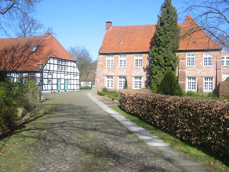
Photo: Wikimedia, Public domain.
Burg Blomendal is a medieval moated castle in the Bremen district of Blumenthal and the oldest secular building in Bremen. The name Blomendal is the Low German spelling of Blumenthal. Burg Blomendal is situated 1¼ km southeast of Lüssumer Schnellimbiß.
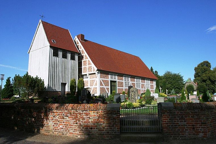
Martin-Luther-Kirche
Church
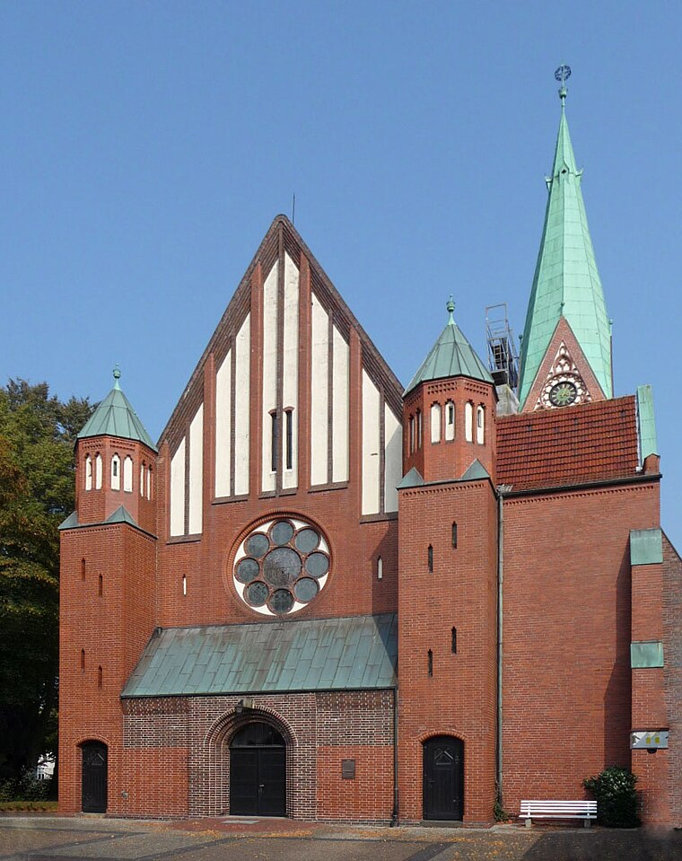
Photo: Joern M, CC BY-SA 3.0.
Martin-Luther-Kirche is a church, which is situated 1 km south of Lüssumer Schnellimbiß.
Places in the Area
Nearby places include Blumenthal and Motzen.
Lüssumer Schnellimbiß
- Categories: building, food, and restaurant
- Location: Bremen, City state Bremen, Germany, Central Europe, Europe
- View on OpenStreetMap
Latitude
53.19475° or 53° 11′ 41″ northLongitude
8.57364° or 8° 34′ 25″ eastOpen location code
9F5C5HVF+WFOpenStreetMap ID
way 93933762OpenStreetMap feature
amenity=fast_foodOpenStreetMap feature
building=yesOpenStreetMap attribute
wheelchair=no
This page is based on OpenStreetMap, Wikidata, and Wikimedia Commons.
We’d love your help improving our open data sources. Thank you for contributing.
Satellite Map
Discover Lüssumer Schnellimbiß from above in high-definition satellite imagery.
Notable Places Nearby
Highlights include Sporthalle Bockhorner Weg and Ascheplatz.
Nearby Places
Explore places such as Parkplatz Sparkasse and Ihr Frisör.
Germany: Must-Visit Destinations
Delve into Berlin, Munich, Hamburg, and Frankfurt.
Curious Fast Food Restaurants to Discover
Uncover intriguing fast food restaurants from every corner of the globe.
About Mapcarta. Data © OpenStreetMap contributors and available under the Open Database License". Text is available under the CC BY-SA 4.0 license, except for photos, directions, and the map. Photo: Dschwen, CC BY-SA 3.0.