Hagener Straßenbahn AG Betriebshof Boelerheide
Hagener Straßenbahn AG Betriebshof Boelerheide is in Hagen, Arnsberg, North Rhine-Westphalia. Hagener Straßenbahn AG Betriebshof Boelerheide is situated nearby to the pitch Skateanlage Hameckepark, as well as near the church St. Meinolf.| Tap on a place to explore it |
Places of Interest Nearby
Highlights include Christ-König and Ischelandstadion.
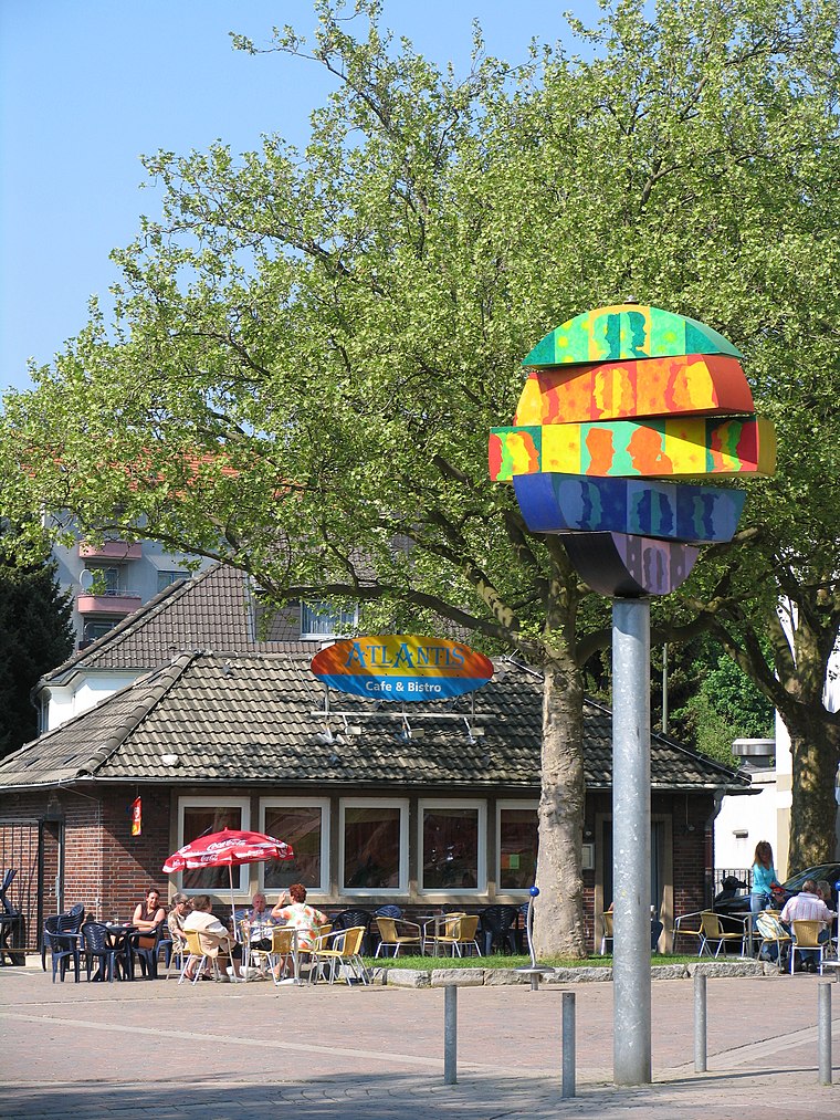
Christ-König
Church

Photo: Bärwinkel,Klaus, CC BY-SA 4.0.
Christ-König is a church, which is situated 530 metres northwest of Hagener Straßenbahn AG Betriebshof Boelerheide.
Ischelandstadion
Stadium
 Ischelandstadion is a multi-use stadium in Hagen, Germany. It is used as the stadium of SSV Hagen and Türkspor Dortmund matches. The capacity of the stadium is 16,500 spectators. Ischelandstadion is situated 750 metres southeast of Hagener Straßenbahn AG Betriebshof Boelerheide.
Hagen Hauptbahnhof
Railway station

Photo: Stefan Flöper, CC BY-SA 4.0.
Hagen Hauptbahnhof is a railway station serving the city of Hagen in western Germany. It is an important rail hub for the southeastern Ruhr area, offering regional and long distance connections. Hagen Hauptbahnhof is situated 2 km southwest of Hagener Straßenbahn AG Betriebshof Boelerheide.
Places in the Area
Nearby places include Altenhagen and Eckesey.


Hagener Straßenbahn AG Betriebshof Boelerheide
- Type: Industry
- Location: Hagen, Arnsberg, Ruhr, North Rhine-Westphalia, Germany, Central Europe, Europe
- View on OpenStreetMap
Latitude
51.37852° or 51° 22′ 43″ northLongitude
7.47343° or 7° 28′ 24″ eastOperator
HSTOpen location code
9F399FHF+C9OpenStreetMap ID
way 94507992OpenStreetMap feature
landuse=industrial
This page is based on OpenStreetMap, Wikidata, and Wikimedia Commons.
We’d love your help improving our open data sources. Thank you for contributing.
Satellite Map
Discover Hagener Straßenbahn AG Betriebshof Boelerheide from above in high-definition satellite imagery.
Notable Places Nearby
Highlights include Hameckepark and Skateanlage Hameckepark.
Nearby Places
Explore places such as ALDI Nord and Siedlerstraße HVG.
Ruhr: Must-Visit Destinations
Delve into Dortmund, Essen, Duisburg, and Bochum.
Curious Places to Discover
Uncover intriguing places from every corner of the globe.
About Mapcarta. Data © OpenStreetMap contributors and available under the Open Database License". Text is available under the CC BY-SA 4.0 license, except for photos, directions, and the map. Photo: Ennepetaler86, CC BY-SA 3.0.