Sandpuden
Sandpuden is a playground in Ringkøbing-Skjern Municipality, Central Jutland. Sandpuden is situated nearby to the park Byengen, as well as near the playground Refugiet.| Tap on a place to explore it |
Places of Interest Nearby
Highlights include Anlægget, Skjern and Skjern Reberbane.
Anlægget, Skjern
Park
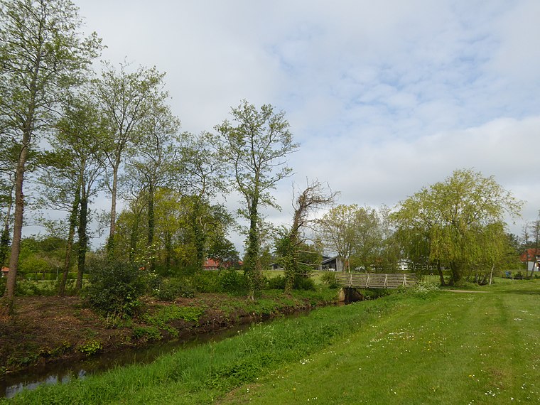
Photo: Dannebrog Spy, CC BY-SA 4.0.
Anlægget, Skjern is a park, which is situated 260 metres south of Sandpuden.
Skjern Reberbane
Museum

Photo: Hjart, CC BY-SA 4.0.
Skjern Reberbane is a museum, which is situated 390 metres northwest of Sandpuden.
Skjern railway station
Railway station
 Skjern railway station is a railway station serving the town of Skjern in West Jutland, Denmark. The station is located on the West Jutland longitudinal railway line from Esbjerg to Struer and is the western terminus of the Skanderborg–Skjern railway line from Skanderborg to Skjern. Skjern railway station is situated 540 metres west of Sandpuden.
Places in the Area
Nearby places include Skjern and Tarm.
Skjern

Photo: Henrik søvang, CC BY 3.0.
Skjern is a railway town just north of the Skjern river in western Jutland, Denmark with a population of 7,737. The town was the seat of the former Skjern Municipality, though since 2007 it has been the joint administrative seat of Ringkøbing-Skjern Municipality.
Tarm
Village

Photo: Alicudi, CC BY-SA 3.0.
Tarm is a small railway town with a population of 4,122 in west Denmark, 36 kilometres southwest of Herning. The road distance between Herning and Tarm is exactly 47.8 kilometres. It is located in the Ringkøbing-Skjern Municipality. Tarm is situated 4½ km south of Sandpuden.
Lønborg
Village

Photo: Beethoven9, CC BY-SA 4.0.
Lønborg is a village, which is situated 6 km southwest of Sandpuden.
Sandpuden
- Opening hours: 24/7
- Type: Playground
- Category: recreation area
- Location: Ringkøbing-Skjern Municipality, Central Jutland, Denmark, Nordic countries, Europe
- View on OpenStreetMap
Latitude
55.94733° or 55° 56′ 50″ northLongitude
8.50087° or 8° 30′ 3″ eastInception
September 19th, 2020Operator
Ringkøbing-Skjern KommuneOpen location code
9F7CWGW2+W8OpenStreetMap ID
way 946392527OpenStreetMap feature
leisure=playground
This page is based on OpenStreetMap, Wikidata, and Wikimedia Commons.
We’d love your help improving our open data sources. Thank you for contributing.
Satellite Map
Discover Sandpuden from above in high-definition satellite imagery.
Notable Places Nearby
Highlights include Byengen and Refugiet.
Nearby Places
Explore places such as Soppesø and Fredensgade.
Denmark: Must-Visit Destinations
Delve into Copenhagen, Aarhus, Odense, and Aalborg.
Curious Playgrounds to Discover
Uncover intriguing playgrounds from every corner of the globe.
About Mapcarta. Data © OpenStreetMap contributors and available under the Open Database License". Text is available under the CC BY-SA 4.0 license, except for photos, directions, and the map. Photo: Wikimedia, CC BY-SA 3.0.