Königreichssaal Jehovas Zeugen
Königreichssaal Jehovas Zeugen is a church in Chemnitz, Saxon Ore Mountains, Saxony which is located on Markersdorfer Straße. Königreichssaal Jehovas Zeugen is situated nearby to the sports venue Sporthallenkomplex Dittersdorfer Straße, as well as near the church Ev.-Luth. Dietrich-Bonhoeffer-Kirchgemeinde Chemnitz.| Tap on a place to explore it |
- Type: Church
- Denomination: Jehovahs Witness
- Address: Markersdorfer Straße 56, Chemnitz, 09123
Places of Interest Nearby
Highlights include Vita-Center and Altchemnitz heating plant.
Vita-Center
Shopping center

Photo: Wikimedia, CC BY-SA 2.0.
Vita-Center is a shopping center, which is situated 1 km west of Königreichssaal Jehovas Zeugen.
Altchemnitz heating plant
Power station
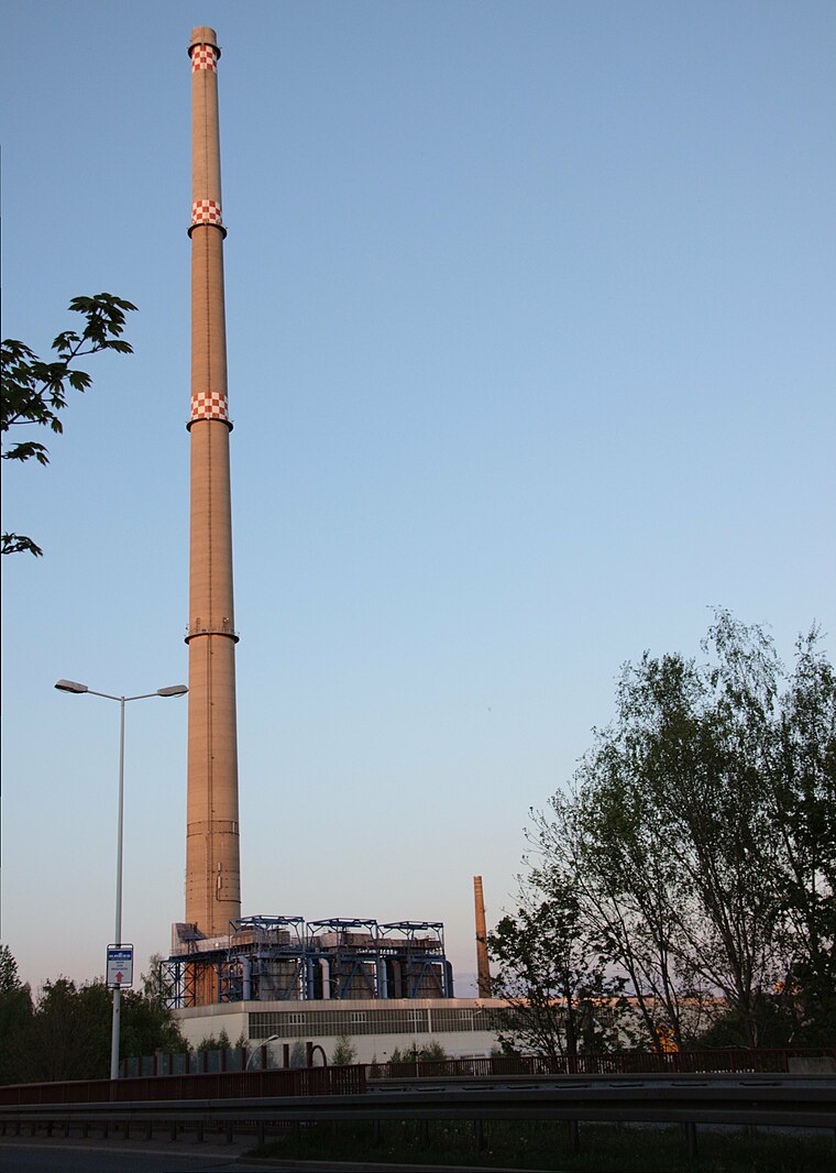
Photo: Miebner, CC BY-SA 3.0.
Altchemnitz heating plant is a power station, which is situated 1½ km northeast of Königreichssaal Jehovas Zeugen.
Schule Altchemnitz
School building

Photo: (dwt)., CC BY-SA 4.0.
Schule Altchemnitz is a school building, which is situated 1 km northeast of Königreichssaal Jehovas Zeugen.
Places in the Area
Nearby places include Neukirchen and Klaffenbach.
Neukirchen
Village

Photo: Bluelkw, CC BY-SA 3.0.
Neukirchen is a municipality in the district Erzgebirgskreis, in Saxony, Germany. Neukirchen is situated 3 km southwest of Königreichssaal Jehovas Zeugen.
Klaffenbach
Suburb

Photo: SandroC, CC BY-SA 3.0.
Klaffenbach is a suburb, which is situated 3½ km south of Königreichssaal Jehovas Zeugen.
Jahnsdorf
Village

Photo: Miebner, CC BY-SA 3.0.
Jahnsdorf is a municipality in the district Erzgebirgskreis, in Saxony, Germany. Jahnsdorf is situated 5 km southwest of Königreichssaal Jehovas Zeugen.
Königreichssaal Jehovas Zeugen
- Categories: building, place of worship, and religion
- Location: Chemnitz, Saxon Ore Mountains, Saxony, Germany, Central Europe, Europe
- View on OpenStreetMap
Latitude
50.79302° or 50° 47′ 35″ northLongitude
12.9006° or 12° 54′ 2″ eastOpen location code
9F2JQWV2+66OpenStreetMap ID
way 94720579OpenStreetMap feature
amenity=place_of_worshipOpenStreetMap feature
building=kingdom_hallOpenStreetMap attribute
denomination=jehovahs_witness
This page is based on OpenStreetMap, Wikidata, and Wikimedia Commons.
We’d love your help improving our open data sources. Thank you for contributing.
Satellite Map
Discover Königreichssaal Jehovas Zeugen from above in high-definition satellite imagery.
Places with the Same Name
Discover other places named “Königreichssaal Jehovas Zeugen”.
Notable Places Nearby
Highlights include Sporthallenkomplex Dittersdorfer Straße and Ev.-Luth. Dietrich-Bonhoeffer-Kirchgemeinde Chemnitz.
Nearby Places
Explore places such as Mattenprofis and Werner.
Saxon Ore Mountains: Must-Visit Destinations
Delve into Zwickau, Freiberg, Oberwiesenthal, and Aue.
Curious Churches to Discover
Uncover intriguing churches from every corner of the globe.
About Mapcarta. Data © OpenStreetMap contributors and available under the Open Database License". Text is available under the CC BY-SA 4.0 license, except for photos, directions, and the map. Photo: Wikimedia, CC0.