Nutmeg Pump Station
Nutmeg Pump Station is a pumping station in Town of Glastonbury, Capitol Planning Region, Connecticut which is located on Nutmeg Lane. Nutmeg Pump Station is situated nearby to the nature reserve Sycamore Street Open Space, as well as near Nutmeg Lane Open Space.| Tap on a place to explore it |
Places of Interest Nearby
Highlights include Gideon Welles House and Welles-Turner Memorial Library.
Gideon Welles House
Historic building

Photo: Magicpiano, CC BY-SA 4.0.
The Gideon Welles House is a historic house at 17 Hebron Avenue in Glastonbury, Connecticut. Built in 1783, it was home to generations of the locally prominent Welles family, whose most famous member was Gideon Welles, the United States Secretary of the Navy under Abraham Lincoln during the American Civil War. Gideon Welles House is situated 3,200 feet west of Nutmeg Pump Station.
Welles-Turner Memorial Library
Library
 Welles-Turner Memorial Library is situated 3,600 feet west of Nutmeg Pump Station.
Selden Brewer House
Museum

Photo: Magicpiano, CC BY-SA 4.0.
The Selden Brewer House is a historic house at Naubuc Avenue and Main Street in East Hartford, Connecticut. Built about 1827, it is a good local example of late Federal/early Greek Revival architecture. Selden Brewer House is situated 2½ miles northwest of Nutmeg Pump Station.
Places in the Area
Nearby places include J. B. Williams Co. Historic District and Glastonbury.
J. B. Williams Co. Historic District
Neighborhood

Photo: Magicpiano, CC BY-SA 4.0.
The J. B. Williams Co. Historic District encompasses a historic 19th-century factory complex and related family housing in Glastonbury, Connecticut. Located on and around Hubbard, Williams, and Willieb Streets, the area includes a mid-19th century frame factory as well as later brick buildings, and houses belonging to its owners, members of the Williams family.
Glastonbury
Town
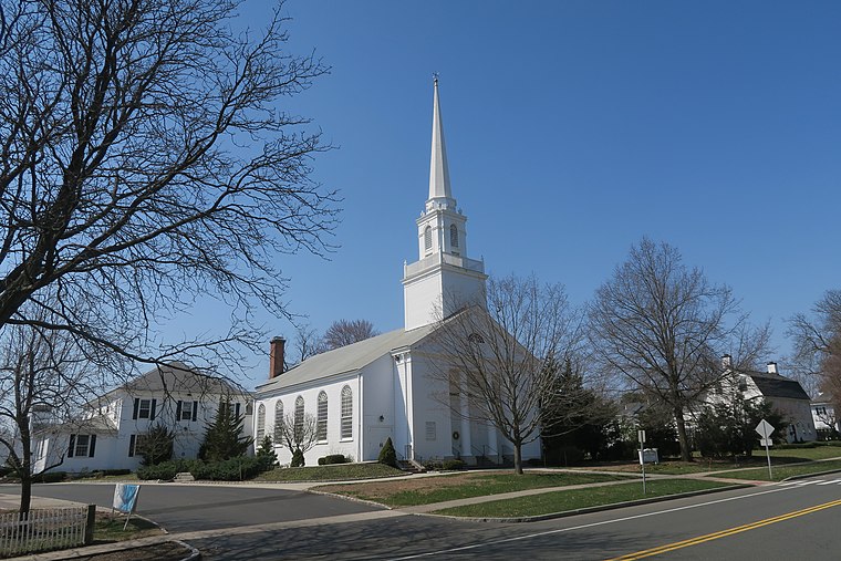
Photo: Faolin42, CC BY-SA 4.0.
Glastonbury is a town in the Capitol Planning Region, Connecticut, United States, formally founded in 1693 and first settled in 1636. It was named after Glastonbury in Somerset, England.
Glastonbury Historic District
Neighborhood

Photo: Grondemar, CC BY-SA 3.0.
The Glastonbury Historic District encompasses a streetscape dating to the 17th century, along Main St. from Hebron Ave. to Talcott Rd. in Glastonbury, Connecticut.
Nutmeg Pump Station
- Type: Pumping station
- Address: 105 Nutmeg Lane, Glastonbury, CT 06033
- Category: industry
- Location: Town of Glastonbury, Capitol Planning Region, Connecticut, New England, United States, North America
- View on OpenStreetMap
Latitude
41.70983° or 41° 42′ 35″ northLongitude
-72.59722° or 72° 35′ 50″ westOperator
Town of GlastonburyOpen location code
87H9PC53+W4OpenStreetMap ID
way 949278810OpenStreetMap feature
landuse=industrialOpenStreetMap feature
man_made=pumping_station
This page is based on OpenStreetMap, Wikidata, and Wikimedia Commons.
We’d love your help improving our open data sources. Thank you for contributing.
Satellite Map
Discover Nutmeg Pump Station from above in high-definition satellite imagery.
Notable Places Nearby
Highlights include Sycamore Street Open Space and Nutmeg Lane Open Space.
Nearby Places
Explore places such as Access Transportation and The Glastonbury Citizen.
Connecticut: Must-Visit Destinations
Delve into Hartford, New Haven, Bridgeport, and Stamford.
Curious Pumping Stations to Discover
Uncover intriguing pumping stations from every corner of the globe.
About Mapcarta. Data © OpenStreetMap contributors and available under the Open Database License". Text is available under the CC BY-SA 4.0 license, except for photos, directions, and the map. Photo: Wikimedia, CC0.