Ramada East Orange
Ramada East Orange is a hotel in City of East Orange, Essex County, New Jersey which is located on Evergreen Place. Ramada East Orange is situated nearby to Union Baptist Church, as well as near the railway station Brick Church station.| Tap on a place to explore it |
Places of Interest Nearby
Highlights include Brick Church station and East Orange station.
Brick Church station
Railway station

Photo: KLOTZPLATE, CC BY-SA 4.0.
Brick Church is an active commuter railroad station in the city of East Orange, Essex County, New Jersey. The station, one of two in East Orange, is located a block away from the former site of the Brick Presbyterian Church, for which the neighborhood takes its name, designed with brick romanesque architecture. Brick Church station is situated 1,500 feet northeast of Ramada East Orange.
East Orange station
Railway station

Photo: Wikimedia, CC BY-SA 2.0.
East Orange is an active commuter railroad train station in the city of East Orange, Essex County, New Jersey. Located next to East Orange City Hall, the station serves trains on the two lines that make up New Jersey Transit's Morris and Essex Lines: the Morristown Line and Gladstone Branch. East Orange station is situated 3,000 feet east of Ramada East Orange.
East Orange General Hospital
Hospital
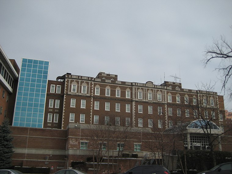
Photo: Timothy Shields, CC BY 3.0.
East Orange General Hospital is situated 3,500 feet southeast of Ramada East Orange.
Places in the Area
Nearby places include East Orange and Orange.
East Orange
Town

Photo: Jim.henderson, Public domain.
East Orange is a city in Essex County, in the U.S. state of New Jersey. As of the 2020 United States census, the city's population was 69,612, an increase of 5,342 from the 2010 census count of 64,270, which in turn reflected a decline of 5,554 from the 69,824 counted in the 2000 census.
Orange
Town
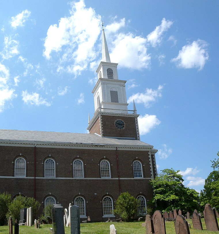
Photo: Jim.henderson, Public domain.
The City of Orange is a township in Essex County, in the U.S. state of New Jersey. As of the 2020 United States census, the township's population was 34,447, an increase of 4,313 from the 2010 census count of 30,134, which in turn reflected a decline of 2,734 from the 32,868 counted in the 2000 census.
The Oranges
The Oranges are a group of four municipalities in Essex County, New Jersey, all of which have the word Orange in their name. The four municipalities are Orange, East Orange, South Orange and West Orange.Ramada East Orange
- Type: Hotel
- Address: 120 Evergreen Place, East Orange, NJ 07018
- Categories: building, tourism, and accommodation
- Location: City of East Orange, Essex County, Gateway, New Jersey, Mid-Atlantic, United States, North America
- View on OpenStreetMap
Latitude
40.76191° or 40° 45′ 43″ northLongitude
-74.22184° or 74° 13′ 19″ westBranch
East OrangeBrand
RamadaOpen location code
87G7QQ6H+Q7OpenStreetMap ID
way 957172957OpenStreetMap feature
building=yesOpenStreetMap feature
tourism=hotel
This page is based on OpenStreetMap, Wikidata, and Wikimedia Commons.
We’d love your help improving our open data sources. Thank you for contributing.
Satellite Map
Discover Ramada East Orange from above in high-definition satellite imagery.
Places with the Same Name
Discover other places named “Ramada East Orange”.
Notable Places Nearby
Highlights include Union Baptist Church and Faith Temple Baptist Church.
Nearby Places
Explore places such as Santander and Angus U. Ejiofor, LLC.
Essex County: Must-Visit Destinations
Delve into Newark, Newark Liberty International Airport, Montclair, and Maplewood.
Curious Hotels to Discover
Uncover intriguing hotels from every corner of the globe.
About Mapcarta. Data © OpenStreetMap contributors and available under the Open Database License". Text is available under the CC BY-SA 4.0 license, except for photos, directions, and the map. Photo: King of Hearts, CC BY-SA 3.0.