ADTV Tanzschule Seidl
ADTV Tanzschule Seidl is a building in Kümmersbruck, Amberg-Sulzbach, Bavaria which is located on Philipp-Melanchthon-Straße. ADTV Tanzschule Seidl is situated nearby to the cemetery Jüdischer Friedhof, as well as near the church Erlöserkirche.| Tap on a place to explore it |
- Type: Dance
- Address: Philipp-Melanchthon-Straße 20, Amberg, 92224
- Roof shape: gabled
Places of Interest Nearby
Highlights include Gregor-Mendel-Gymnasium Amberg and Nabburger Tor.
Gregor-Mendel-Gymnasium Amberg
School
The Gregor-Mendel-Gymnasium is a national, public gymnasium in Amberg, Bavaria, Germany. It is named after the scientist Gregor Mendel. As of 2006 it has some 950 students, of whom 35% are from the city of Amberg, and 65% from the surrounding district. Gregor-Mendel-Gymnasium Amberg is situated 1 km northwest of ADTV Tanzschule Seidl.
Nabburger Tor

Photo: Tilman2007, CC BY-SA 4.0.
Nabburger Tor is situated 1½ km northwest of ADTV Tanzschule Seidl.
St. Martin
Church
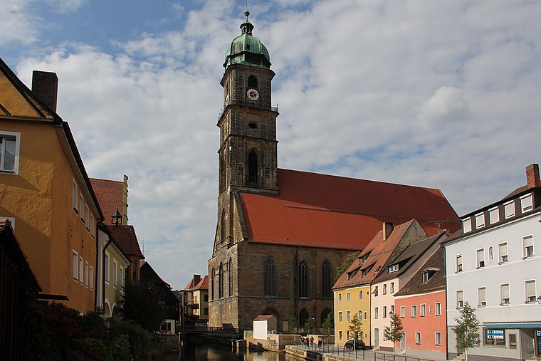
Photo: Mattis, CC BY-SA 3.0.
St. Martin is a church, which is situated 2 km northwest of ADTV Tanzschule Seidl.
Places in the Area
Nearby places include Krumbach and Amberg.

Amberg

Photo: Mattis, CC BY-SA 3.0.
Amberg is in Upper Palatinate. Having been a rich city in the early modern era, Amberg has a well preserved city wall.

ADTV Tanzschule Seidl
- Categories: building, recreation area, and sports location
- Location: Kümmersbruck, Amberg-Sulzbach, Upper Palatinate, Bavaria, Germany, Central Europe, Europe
- View on OpenStreetMap
Latitude
49.43723° or 49° 26′ 14″ northLongitude
11.88202° or 11° 52′ 55″ eastOpen location code
8FXHCVPJ+VROpenStreetMap ID
way 95850530OpenStreetMap feature
building=yesOpenStreetMap feature
leisure=danceOpenStreetMap attribute
roof-shape=gabled
This page is based on OpenStreetMap, Wikidata, and Wikimedia Commons.
We’d love your help improving our open data sources. Thank you for contributing.
Satellite Map
Discover ADTV Tanzschule Seidl from above in high-definition satellite imagery.
Notable Places Nearby
Highlights include Jüdischer Friedhof and Erlöserkirche.
Nearby Places
Explore places such as ADTV Tanzschule Seidl and Lara.
Upper Palatinate: Must-Visit Destinations
Delve into Regensburg, Amberg, Cham, and Schwandorf.
Curious Places to Discover
Uncover intriguing places from every corner of the globe.
About Mapcarta. Data © OpenStreetMap contributors and available under the Open Database License". Text is available under the CC BY-SA 4.0 license, except for photos, directions, and the map. Photo: Wikimedia, CC0.