Former 25E Storage
Former 25E Storage is in Hamblen, Tennessee. Former 25E Storage is situated nearby to the mountain saddle Statem Gap, as well as near the suburb Witt.| Tap on a place to explore it |
Places of Interest Nearby
Highlights include Morristown-Hamblen High School West.
Morristown-Hamblen High School West
School building

Photo: WKHR, CC BY-SA 4.0.
Morristown-Hamblen High School West is a secondary school located in Morristown, Tennessee. The school incorporates grades 9–12. The mascot is the Trojan. The school colors are crimson and white. As of the 2021-2022 school year, 1,489 students were enrolled. Morristown-Hamblen High School West is situated 2½ miles northwest of Former 25E Storage.
Places in the Area
Nearby places include Witt and Morristown.
Witt
Suburb
Witt is an unincorporated community in Hamblen County, Tennessee, United States. Witt is situated 1½ miles south of Former 25E Storage.
Morristown
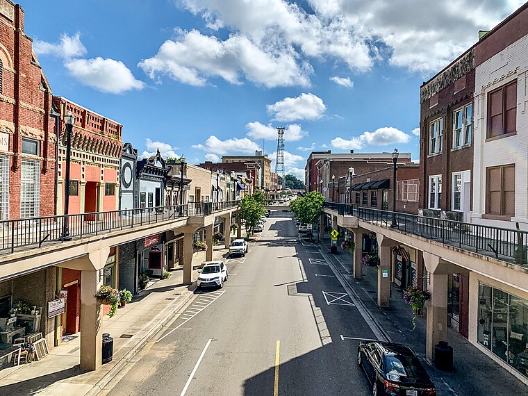
Photo: AppalachianCentrist, CC BY-SA 4.0.
Morristown is in Eastern Tennessee. Settled in the years just after the Revolutionary War, around 1787, Davy Crockett once lived here. Prior to the Civil Rights era, Morristown had one of the only two colleges in eastern Tennessee established for African Americans, called Morristown College.
White Pine
Town
 White Pine is a town in Jefferson and Hamblen counties in Tennessee, United States. It is part of the Morristown metropolitan area. The population was 2,471 at the 2020 census. White Pine is situated 4½ miles south of Former 25E Storage.
Former 25E Storage
- Type: Brownfield land
- Category: industry
- Location: Hamblen, Tennessee, South, United States, North America
- View on OpenStreetMap
Latitude
36.17221° or 36° 10′ 20″ northLongitude
-83.27465° or 83° 16′ 29″ westOpen location code
868R5PCG+V4OpenStreetMap ID
way 958683203OpenStreetMap feature
landuse=brownfield
This page is based on OpenStreetMap, Wikidata, and Wikimedia Commons.
We’d love your help improving our open data sources. Thank you for contributing.
Satellite Map
Discover Former 25E Storage from above in high-definition satellite imagery.
Notable Places Nearby
Highlights include Statem Gap Church and Statem Gap.
Nearby Places
Explore places such as Finely Feathered and Sequoyah Estates.
Tennessee: Must-Visit Destinations
Delve into Nashville, Memphis, Knoxville, and Chattanooga.
Curious Places to Discover
Uncover intriguing places from every corner of the globe.
About Mapcarta. Data © OpenStreetMap contributors and available under the Open Database License". Text is available under the CC BY-SA 4.0 license, except for photos, directions, and the map. Photo: Wikimedia, CC0.