Blood bank
Blood bank is a building in Yerevan, Central Armenia. Blood bank is situated nearby to the church Saint Karapet (Nerses) chapel, as well as near the college Hayordats Tun.| Tap on a place to explore it |
Places of Interest Nearby
Highlights include Hematology Center Aft. Prof. R.Yeolyan and Izmirlian Medical Center.
Hematology Center Aft. Prof. R.Yeolyan
Hospital

Photo: Armineaghayan, CC BY-SA 4.0.
Hematology Center Aft. Prof. R.Yeolyan is a hospital, which is situated 110 metres southwest of Blood bank.
Izmirlian Medical Center
Hospital
 Izmirlian Medical Center, is a medical center and research foundation located in the Armenian capital Yerevan. Opened in 1986, it is located in the Kanaker-Zeytun district and currently operates under the supervision of the Mother See of Holy Etchmiadzin. Izmirlian Medical Center is situated 230 metres east of Blood bank.
Matenadaran
Museum
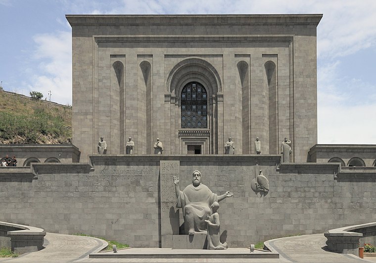
Photo: Halavar, CC BY-SA 4.0.
The Matenadaran, officially the Mesrop Mashtots Institute of Ancient Manuscripts, is the largest center for the storage, study and popularization of Armenian manuscripts, combining the functions of a museum, archive and scientific institution. Matenadaran is situated 2 km southwest of Blood bank.
Places in the Area
Nearby places include Kond and Zovuni.
Kond
Neighborhood

Photo: Stamboltsyan, Public domain.
Kond is one of the oldest quarters of Yerevan. It is situated within the boundaries of the modern-day Kentron District of the capital of Armenia. According to Hovhannes Shahkhatunyants, an Armenian historian, Kond is located at the western and southern hillsides and foot of a rocky hill with similar name. Kond is situated 3½ km southwest of Blood bank.
Zovuni
Village

Photo: ERJANIK, CC BY-SA 3.0.
Zovuni, is a major village in the Kotayk Province of Armenia, located just north of the capital Yerevan. As of the 2024 census, the population of the village is 7,290. Zovuni is situated 4 km northwest of Blood bank.
Kanakeravan
Village

Photo: Spetsnaz1991, CC BY-SA 4.0.
Kanakeravan, a village in the Kotayk Province of Armenia, 42 km southwest of the province's center, on the high right bank of the Hrazdan river, blocking KERG. Kanakeravan is situated 4½ km north of Blood bank.
Blood bank
- Type: Blood donation
- Categories: health care and building
- Location: Yerevan, Central Armenia, Armenia, Caucasus, Asia
- View on OpenStreetMap
Latitude
40.20608° or 40° 12′ 22″ northLongitude
44.53203° or 44° 31′ 55″ eastOpen location code
8HG66G4J+CROpenStreetMap ID
way 965336234OpenStreetMap feature
building=yesOpenStreetMap feature
healthcare=blood_donation
This page is based on OpenStreetMap, Wikidata, and Wikimedia Commons.
We’d love your help improving our open data sources. Thank you for contributing.
Satellite Map
Discover Blood bank from above in high-definition satellite imagery.
Places with the Same Name
Discover other places named “Blood bank”.
Notable Places Nearby
Highlights include Saint Karapet (Nerses) chapel and Hayordats Tun.
Nearby Places
Explore places such as Eagle and Hematology Hospital after Professor Yulyan.
Central Armenia: Must-Visit Destinations
Delve into Echmiadzin, Artashat, Ashtarak, and Armavir.
Curious Places to Discover
Uncover intriguing places from every corner of the globe.
About Mapcarta. Data © OpenStreetMap contributors and available under the Open Database License". Text is available under the CC BY-SA 4.0 license, except for photos, directions, and the map. Photo: Սէրուժ, CC BY 4.0.