Odessza I. fűtőmű
Odessza I. fűtőmű is an industrial building in Csongrád-Csanád County, Southern Great Plain. Odessza I. fűtőmű is situated nearby to the hospital Újszegedi Gyermekkórház, as well as near the health club Városi Sportcsarnok - Konditerem.| Tap on a place to explore it |
Places of Interest Nearby
Highlights include Újszeged railway station and Votive Church of Szeged.
Újszeged railway station
Railway station

Photo: Beroesz, CC BY-SA 3.0.
Újszeged railway station is situated 220 metres south of Odessza I. fűtőmű.
Votive Church of Szeged
Church

Photo: Wikimedia, CC BY-SA 2.5 hu.
The Votive Church and Cathedral of Our Lady of Hungary is a twin-spired church in Szeged. It lies on Dóm square beside the Dömötör tower. Construction began in 1913, but due to the outbreak of the First World War, it was not completed until 1930. Votive Church of Szeged is situated 1 km northwest of Odessza I. fűtőmű.
Church of St. Nicholas, Szeged
Church

Photo: Plazma, Public domain.
The Church of St. Nicholas, is a Serbian Orthodox church in Szeged, Hungary. Church of St. Nicholas, Szeged is situated 1 km northwest of Odessza I. fűtőmű.
Places in the Area
Nearby places include Újszeged and Szeged.

Szeged

Photo: V.Mariann, CC BY-SA 3.0.
Szeged is a Hungarian city in the Csongrád-Csanád County. The third largest city in the country, it is sometimes called "the city of sunshine", for its brilliant weather.
Tápé
Suburb
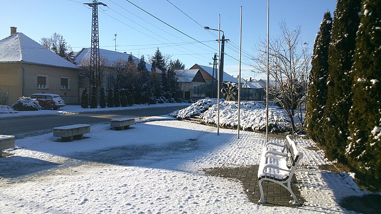
Photo: SlowlyJohny, CC BY-SA 3.0.
Tápé is a suburb, which is situated 3½ km northeast of Odessza I. fűtőmű.
Odessza I. fűtőmű
- Type: Industrial building
- Categories: building and industry
- Location: Csongrád-Csanád County, Southern Great Plain, Hungary, Central Europe, Europe
- View on OpenStreetMap
Latitude
46.24399° or 46° 14′ 38″ northLongitude
20.16027° or 20° 9′ 37″ eastInception
1974Operator
Szegedi Távfűtő Kft.Open location code
8GR265V6+H4OpenStreetMap ID
way 96585491OpenStreetMap feature
building=industrial
This page is based on OpenStreetMap, Wikidata, and Wikimedia Commons.
We’d love your help improving our open data sources. Thank you for contributing.
Satellite Map
Discover Odessza I. fűtőmű from above in high-definition satellite imagery.
Notable Places Nearby
Highlights include Újszegedi Gyermekkórház and Városi Sportcsarnok - Konditerem.
Nearby Places
Explore places such as Szerencse Megálló lottózó and Gyermekkórház.
Southern Great Plain: Must-Visit Destinations
Delve into Szeged, Kecskemét, Baja, and Kiskunhalas.
Curious Industrial Buildings to Discover
Uncover intriguing industrial buildings from every corner of the globe.
About Mapcarta. Data © OpenStreetMap contributors and available under the Open Database License". Text is available under the CC BY-SA 4.0 license, except for photos, directions, and the map. Photo: Inkey, Public domain.