Afton Ridge
Afton Ridge is a residential area in City of Saint Paul, Ramsey, Minnesota. Afton Ridge is situated nearby to South Meadow, as well as near Swimming Pond.| Tap on a place to explore it |
Places of Interest Nearby
Highlights include Sun Ray Branch Library and Harding Senior High School.
Sun Ray Branch Library
Library

Photo: McGhiever, CC BY-SA 4.0.
Sun Ray Branch Library is situated 1½ miles north of Afton Ridge.
Harding Senior High School
School
Harding Senior High School is a public comprehensive high school located on the East Side of Saint Paul, Minnesota, United States. The school is one of the nine high schools in the Saint Paul Public School District and is the largest high school in the city of Saint Paul, with enrollment at approximately 1,908. Harding Senior High School is situated 2½ miles northwest of Afton Ridge.
Places in the Area
Nearby places include Landfall and South Saint Paul.
Landfall
Village
Landfall is a city in Washington County, Minnesota, United States. The population was 843 at the 2020 census and is the smallest community in Washington County in terms of area. Landfall is situated 2 miles northeast of Afton Ridge.
South Saint Paul
Town

Photo: Appraiser, CC BY-SA 3.0.
South St. Paul is a city in Dakota County, Minnesota, United States, immediately south and southeast of St. Paul and east of West St. Paul. The population was 20,759 at the 2020 census. South Saint Paul is situated 3½ miles southwest of Afton Ridge.
Woodbury
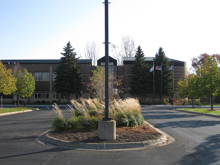
Photo: Iulus Ascanius, Public domain.
Woodbury is a city in Washington County, Minnesota, United States, eight miles east of Saint Paul along Interstate 94. It is part of the Minneapolis–Saint Paul metropolitan area.
Afton Ridge
- Type: Residential area
- Location: City of Saint Paul, Ramsey, Minnesota, Midwest, United States, North America
- View on OpenStreetMap
Latitude
44.93223° or 44° 55′ 56″ northLongitude
-93.00341° or 93° 0′ 12″ westOpen location code
86P8WXJW+VJOpenStreetMap ID
way 967151056OpenStreetMap feature
landuse=residential
This page is based on OpenStreetMap, Wikidata, and Wikimedia Commons.
We’d love your help improving our open data sources. Thank you for contributing.
Satellite Map
Discover Afton Ridge from above in high-definition satellite imagery.
Places with the Same Name
Discover other places named “Afton Ridge”.
Notable Places Nearby
Highlights include South Meadow and Swimming Pond.
Nearby Places
Explore places such as Holiday and McKnight Road & Lower Afton Road.
Minnesota: Must-Visit Destinations
Delve into Minneapolis, Saint Paul, Duluth, and Rochester.
Curious Residential Areas to Discover
Uncover intriguing residential areas from every corner of the globe.
About Mapcarta. Data © OpenStreetMap contributors and available under the Open Database License". Text is available under the CC BY-SA 4.0 license, except for photos, directions, and the map. Photo: Wikimedia, CC0.