Whittington Creek
Whittington Creek is a residential area in Knox, Tennessee. Whittington Creek is situated nearby to the church Little Creek, as well as near Grace Cemetery.| Tap on a place to explore it |
Places in the Area
Nearby places include Rocky Hill and Louisville.
Rocky Hill
Suburb
Rocky Hill is a West Knoxville neighborhood in Knoxville, Tennessee. It encompasses an area north and west of Tennessee State Route 332, east of Wallace Road, and south of Westland Drive. Its ZIP code is 37919. Rocky Hill is situated 2½ miles northeast of Whittington Creek.
Louisville
Village
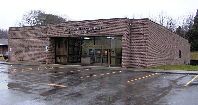 Louisville is a suburban town in Blount County, Tennessee. Its population was 4,384 at the 2020 census. It is included in the Knoxville, Tennessee Metropolitan Statistical Area. Louisville is situated 4 miles south of Whittington Creek.
West Hills
Suburb
West Hills is a neighborhood in Knoxville, Tennessee, United States, located just off Kingston Pike in West Knoxville. Initially developed in the 1950s, West Hills was Knoxville's first major post-World War II subdivision, and the first subdivision to consist primarily of modern ranch-style houses. West Hills is situated 4 miles north of Whittington Creek.
Whittington Creek
- Type: Residential area
- Location: Knox, Tennessee, South, United States, North America
- View on OpenStreetMap
Latitude
35.87661° or 35° 52′ 36″ northLongitude
-84.0506° or 84° 3′ 2″ westOpen location code
867QVWGX+JQOpenStreetMap ID
way 967360766OpenStreetMap feature
landuse=residential
This page is based on OpenStreetMap, Wikidata, and Wikimedia Commons.
We’d love your help improving our open data sources. Thank you for contributing.
Satellite Map
Discover Whittington Creek from above in high-definition satellite imagery.
Places with the Same Name
Discover other places named “Whittington Creek”.
Notable Places Nearby
Highlights include Little Creek and The Nursing Center at Little Creek.
Nearby Places
Explore places such as Little Creek Sanitarium and Madison Grove.
Tennessee: Must-Visit Destinations
Delve into Nashville, Memphis, Knoxville, and Chattanooga.
Curious Residential Areas to Discover
Uncover intriguing residential areas from every corner of the globe.
About Mapcarta. Data © OpenStreetMap contributors and available under the Open Database License". Text is available under the CC BY-SA 4.0 license, except for photos, directions, and the map. Photo: Wikimedia, CC0.