Freiwillige Feuerwehr Pinnow
Freiwillige Feuerwehr Pinnow is a fire station in Pinnow, Ludwigslust-Parchim, Mecklenburg-Western Pomerania which is located on Kuckucksallee. Freiwillige Feuerwehr Pinnow is situated nearby to the sports venue Tennishalle, as well as near the lake Binnensee.| Tap on a place to explore it |
- Type: Fire station
- Address: Kuckucksallee 1, Pinnow, 19065
- Roof shape: hipped
Places of Interest Nearby
Highlights include Pinnower Kiessee and Pinnow airfield.
Pinnower Kiessee
The Pinnower Kiessee was created by the accumulation of groundwater in a gravel pit in the municipal area of the Ludwigslust-Parchim district in Mecklenburg-Vorpommern. Pinnower Kiessee is situated 740 metres southeast of Freiwillige Feuerwehr Pinnow.
Places in the Area
Nearby places include Godern and Gneven.
Godern
Village
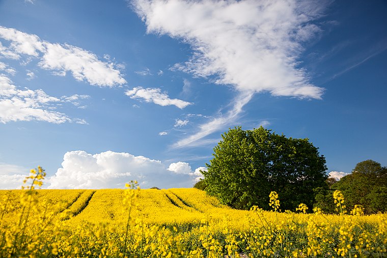
Photo: Harald Hoyer, CC BY-SA 2.0.
Godern is a village and a former municipality in the Ludwigslust-Parchim district, in Mecklenburg-Vorpommern, Germany. Since 1 January 2012, it is part of the municipality Pinnow.
Gneven
Village
 Gneven is a municipality in the Ludwigslust-Parchim district, in Mecklenburg-Vorpommern, Germany. It consists of the Ortsteile Gneven and Vorbeck. Gneven is situated 3½ km north of Freiwillige Feuerwehr Pinnow.
Sukow
Village
 Sukow is a municipality in the Ludwigslust-Parchim district, in Mecklenburg-Vorpommern, Germany. Sukow is situated 6 km south of Freiwillige Feuerwehr Pinnow.
Freiwillige Feuerwehr Pinnow
- Category: building
- Location: Pinnow, Ludwigslust-Parchim, Mecklenburg-Western Pomerania, Germany, Central Europe, Europe
- View on OpenStreetMap
Latitude
53.6031° or 53° 36′ 11″ northLongitude
11.55673° or 11° 33′ 24″ eastOpen location code
9F5HJH34+6MOpenStreetMap ID
way 96784528OpenStreetMap feature
amenity=fire_stationOpenStreetMap feature
building=yesOpenStreetMap attribute
roof-shape=hipped
This page is based on OpenStreetMap, Wikidata, and Wikimedia Commons.
We’d love your help improving our open data sources. Thank you for contributing.
Satellite Map
Discover Freiwillige Feuerwehr Pinnow from above in high-definition satellite imagery.
Notable Places Nearby
Highlights include Tennishalle and Binnensee.
Nearby Places
Explore places such as Edeka and Schwesig & Sohn GmbH.
Mecklenburg-Western Pomerania: Must-Visit Destinations
Delve into Schwerin, Rostock, Wismar, and Stralsund.
Curious Fire Stations to Discover
Uncover intriguing fire stations from every corner of the globe.
About Mapcarta. Data © OpenStreetMap contributors and available under the Open Database License". Text is available under the CC BY-SA 4.0 license, except for photos, directions, and the map. Photo: Schiwago, CC BY 2.5.