Chantier de L’Éventail
Chantier de L’Éventail is in Villeurbanne, Arrondissement of Lyon, Auvergne-Rhône-Alpes. Chantier de L’Éventail is situated nearby to the community center L’Autre Soie, as well as near the park Parc aux Hérissons.| Tap on a place to explore it |
Places of Interest Nearby
Highlights include Vaulx-en-Velin - La Soie and Station Vélo’v 12001.
Vaulx-en-Velin - La Soie
Railway stop
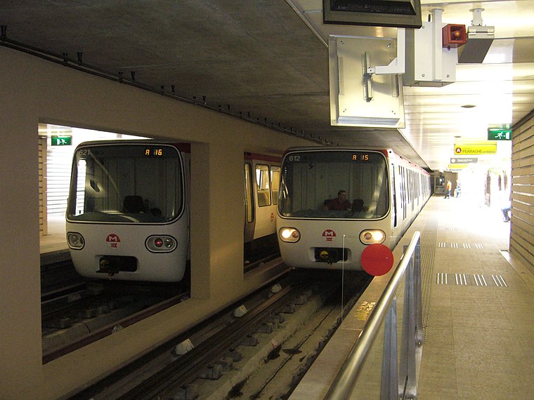
Photo: Billy69150, CC BY-SA 3.0.
Vaulx-en-Velin - La Soie is a railway stop, which is situated 430 metres north of Chantier de L’Éventail.
Station Vélo’v 12001
Bike rental
 Station Vélo’v 12001 is a bike rental, which is situated 360 metres north of Chantier de L’Éventail.
Mini World Lyon
 Mini World Lyon is an animated miniature park of 4,500 square metres in the leisure center of Carré de Soie in Vaulx-en-Velin, a commune in the Metropolis of Lyon, in France. Mini World Lyon is situated 1 km north of Chantier de L’Éventail.
Places in the Area
Nearby places include Vaulx-en-Velin and Montchat.
Vaulx-en-Velin
Town

Photo: Camster, CC BY-SA 3.0.
Vaulx-en-Velin is a commune in the Metropolis of Lyon, Auvergne-Rhône-Alpes, eastern France. It is the third-largest suburb of the city of Lyon, and is located to its northeast, on the river Rhône.
Montchat
Suburb

Photo: Rexcornot, CC BY-SA 4.0.
Montchat is a district in the 3rd arrondissement of the French commune of Lyon. It forms the eastern part of the city. It ends on the east with a hill bordering Bron and adjoins Villeurbanne to the north. Montchat is situated 2½ km west of Chantier de L’Éventail.
Bron
Town

Photo: Wikimedia, CC BY-SA 3.0.
Bron is a commune in the Metropolis of Lyon, Auvergne-Rhône-Alpes region, eastern France. Bron is situated 3 km south of Chantier de L’Éventail.
Chantier de L’Éventail
Latitude
45.75764° or 45° 45′ 28″ northLongitude
4.91997° or 4° 55′ 12″ eastOpen location code
8FQ6QW59+3XOpenStreetMap ID
way 975443054OpenStreetMap feature
landuse=construction
This page is based on OpenStreetMap, Wikidata, and Wikimedia Commons.
We’d love your help improving our open data sources. Thank you for contributing.
Satellite Map
Discover Chantier de L’Éventail from above in high-definition satellite imagery.
Notable Places Nearby
Highlights include L’Autre Soie and Parc aux Hérissons.
Nearby Places
Explore places such as L’Auvent and Chiche Kebab.
Greater Lyon: Must-Visit Destinations
Delve into Lyon, Saint-Étienne, Roanne, and Villefranche-sur-Saône.
Curious Places to Discover
Uncover intriguing places from every corner of the globe.
About Mapcarta. Data © OpenStreetMap contributors and available under the Open Database License". Text is available under the CC BY-SA 4.0 license, except for photos, directions, and the map. Photo: Goudan07, CC BY-SA 3.0.