storage44
storage44 is a warehouse in Bochum, Arnsberg, North Rhine-Westphalia which is located on Coloniastraße. storage44 is situated nearby to the playground Spielplatz Coloniastraße, as well as near the fire station Freiwillige Feuerwehr Bochum-Langendreer (LE33) / Gerätehaus.| Tap on a place to explore it |
Places of Interest Nearby
Highlights include Lutherkirche and St. Marien.
Lutherkirche
Community center

Photo: Wikimedia, CC BY-SA 3.0.
Lutherkirche is a community center, which is situated 600 metres east of storage44.
St. Marien
Church

Photo: Theol, CC BY-SA 3.0.
St. Marien is a church, which is situated 440 metres east of storage44.
Bochum-Langendreer West station
Railway stop
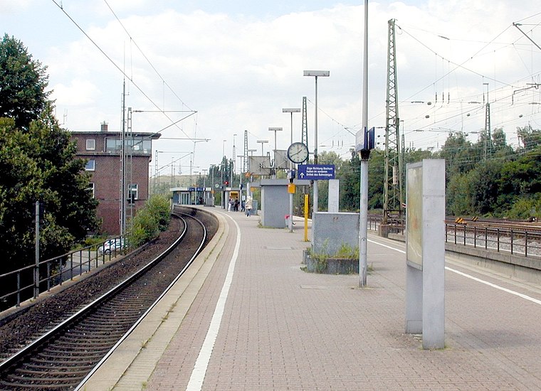
Photo: Marku1988, CC BY-SA 3.0.
Bochum-Langendreer West station is a stop on the Rhine-Ruhr S-Bahn in the district of Langendreer in eastern Bochum in the German state of North Rhine-Westphalia. Bochum-Langendreer West station is situated 470 metres northeast of storage44.
Places in the Area
Nearby places include Bochum-Werne and Langendreer.
Bochum-Werne
Suburb
Bochum-Werne is a district of the city of Bochum in the Ruhr area in North Rhine-Westphalia in Germany. Werne is in the East of Bochum, North of Langendreer. Werne borders the city of Dortmund.
Langendreer
Suburb
Langendreer is the largest and most populous district of the city of Bochum in the Ruhr area in Germany, with a population of 25,438 as of 31 December 2023.
Bochum-Laer
Suburb
Laer is a district of the city of Bochum in the Ruhr area in North Rhine-Westphalia in Germany. Laer is to the east of Altenbochum and the central business district.
storage44
- Type: Warehouse
- Address: Coloniastraße 13, Bochum, 44892
- Category: building
- Location: Bochum, Arnsberg, Ruhr, North Rhine-Westphalia, Germany, Central Europe, Europe
- View on OpenStreetMap
Latitude
51.47556° or 51° 28′ 32″ northLongitude
7.29878° or 7° 17′ 56″ eastLevels
1Open location code
9F39F7GX+6GOpenStreetMap ID
way 97994062OpenStreetMap feature
building=warehouse
This page is based on OpenStreetMap, Wikidata, and Wikimedia Commons.
We’d love your help improving our open data sources. Thank you for contributing.
Satellite Map
Discover storage44 from above in high-definition satellite imagery.
Notable Places Nearby
Highlights include Spielplatz Coloniastraße and Freiwillige Feuerwehr Bochum-Langendreer (LE33) / Gerätehaus.
Nearby Places
Explore places such as Motorradschmiede and 10 kV-Station Coloniastr. 13.
Ruhr: Must-Visit Destinations
Delve into Dortmund, Essen, Duisburg, and Gelsenkirchen.
Curious Warehouses to Discover
Uncover intriguing warehouses from every corner of the globe.
About Mapcarta. Data © OpenStreetMap contributors and available under the Open Database License". Text is available under the CC BY-SA 4.0 license, except for photos, directions, and the map. Photo: NatiSythen, Public domain.