Axporama
Axporama is a museum in Böttstein, Zurzach District, Canton of Aargau. Axporama is situated nearby to the church Castle chapel, as well as near Böttstein Castle.| Tap on a place to explore it |
Photo: LBGang01, CC BY-SA 4.0.
- Opening hours:
Monday—Friday: 9:00 AM—5:00 PM
Saturday—Sunday: 11:00 AM—5:00 PM - Type: Museum
- Description: museum in Böttstein (Switzerland)
Places of Interest Nearby
Highlights include Böttstein Castle and Castle chapel.
Böttstein Castle
Castle
 Böttstein Castle is a castle in the municipality of Böttstein in the canton of Aargau in Switzerland.

Beznau
Islet

Photo: Wikimedia, CC BY-SA 3.0.
Beznau is an islet, which is situated 510 metres east of Axporama.
Places in the Area
Nearby places include Leuggern and Mandach.
Leuggern
Village
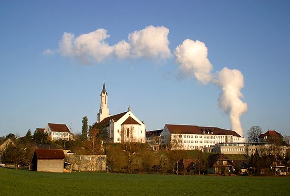
Photo: Wikimedia, CC BY-SA 3.0.
Leuggern is a municipality in the district of Zurzach in the canton of Aargau in Switzerland. Leuggern is situated 3 km north of Axporama.
Mandach
Village
 Mandach is a municipality in the district of Brugg in canton of Aargau in Switzerland. Mandach is situated 3 km west of Axporama.
Villigen
Village
 Villigen is a municipality in the district of Brugg in the canton of Aargau in Switzerland. In January 2006, Villigen incorporated the former municipality of Stilli. Villigen is situated 3 km south of Axporama.
Axporama
- Categories: technology museum, memory institution, building, tourism, and tourist attraction
- Location: Böttstein, Zurzach District, Canton of Aargau, Switzerland, Central Europe, Europe
- View on OpenStreetMap
Latitude
47.55444° or 47° 33′ 16″ northLongitude
8.22466° or 8° 13′ 29″ eastOpen location code
8FVCH63F+QVOpenStreetMap ID
way 98520592OpenStreetMap feature
building=yesOpenStreetMap feature
tourism=museumWikidata ID
Q27479866
This page is based on OpenStreetMap, Wikidata, and Wikimedia Commons.
We’d love your help improving our open data sources. Thank you for contributing.
Satellite Map
Discover Axporama from above in high-definition satellite imagery.
In Other Languages
“Axporama” goes by many names.
- German: “Axporama”
Notable Places Nearby
Highlights include Wehrkraftwerk and Wasserkraftwerk Beznau.
Nearby Places
Explore places such as Böttstein Schloss and Vinothek/Weinbar Caveau Vino.
Switzerland: Must-Visit Destinations
Delve into Zurich, Berne, Geneva, and Basel.
Curious Museums to Discover
Uncover intriguing museums from every corner of the globe.
About Mapcarta. Data © OpenStreetMap contributors and available under the Open Database License". Text is available under the CC BY-SA 4.0 license, except for photos, directions, and the map. Photo: LBGang01, CC BY-SA 4.0.