JKCS Goslar
JKCS Goslar is a sports venue in Goslar, Southern Lower Saxony, Lower Saxony which is located on Marienburger Straße. JKCS Goslar is situated nearby to the church St. Benno, as well as near the pitch Boule im Brommipark Goslar.| Tap on a place to explore it |
Places of Interest Nearby
Highlights include St. Benno and Stiftskirche St. Georg.
St. Benno
Church

Photo: Kirchenfan, CC0.
St. Benno is a church, which is situated 230 metres south of JKCS Goslar.
Stiftskirche St. Georg
Church

Photo: Rabanus Flavus, CC0.
Stiftskirche St. Georg is a church, which is situated 1¼ km northeast of JKCS Goslar.
Polizeiinspektion Goslar
Police station

Photo: Reise Reise, CC BY-SA 3.0.
Polizeiinspektion Goslar is a police station, which is situated 1¼ km southwest of JKCS Goslar.
Places in the Area
Nearby places include Fliegerhorst and Baßgeige.


Sudmerberg
Suburb
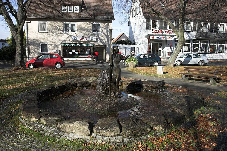
Photo: Kassandro, CC BY-SA 3.0.
Sudmerberg is a quarter of Goslar in Lower Saxony, Germany, named after a prominent 354 m -metre-high hill to the east.
JKCS Goslar
- Type: Sports venue
- Address: Marienburger Straße 54, Goslar, 38642
- Categories: building, recreation area, and sports location
- Location: Goslar, Goslar, Southern Lower Saxony, Lower Saxony, Germany, Central Europe, Europe
- View on OpenStreetMap
Latitude
51.92877° or 51° 55′ 44″ northLongitude
10.43555° or 10° 26′ 8″ eastOperator
JKCS GoslarOpen location code
9F3GWCHP+G6OpenStreetMap ID
way 98643493OpenStreetMap feature
building=yesOpenStreetMap feature
leisure=sports_centreOpenStreetMap feature
sport=aikidoOpenStreetMap feature
sport=taekwondoOpenStreetMap feature
sport=hapkidoOpenStreetMap feature
sport=judoOpenStreetMap feature
sport=jujutsuOpenStreetMap feature
sport=jiujitsuOpenStreetMap feature
sport=kendoOpenStreetMap feature
sport=kickboxingOpenStreetMap feature
sport=karate
This page is based on OpenStreetMap, Wikidata, and Wikimedia Commons.
We’d love your help improving our open data sources. Thank you for contributing.
Satellite Map
Discover JKCS Goslar from above in high-definition satellite imagery.
Notable Places Nearby
Highlights include Boule im Brommipark Goslar and Jürgenohler Markt.
Nearby Places
Explore places such as Goslar, Ortelsburger Straße and Goslar, Ortelsburger Straße.
Southern Lower Saxony: Must-Visit Destinations
Delve into Göttingen, Hamelin, Hann. Münden, and Einbeck.
Curious Sports Venues to Discover
Uncover intriguing sports venues from every corner of the globe.
About Mapcarta. Data © OpenStreetMap contributors and available under the Open Database License". Text is available under the CC BY-SA 4.0 license, except for photos, directions, and the map. Photo: Wikimedia, CC0.