Frank Parsons Rifle Range
Frank Parsons Rifle Range is a sports venue in Montgomery County, Capital Region, Maryland. Frank Parsons Rifle Range is situated nearby to the sports venue Barton Alumni Sports Center, as well as near the pitch Freed Field.| Tap on a place to explore it |
Places of Interest Nearby
Highlights include Landon School and Thomas W Pyle Middle School.
Landon School
School
Landon School is a private, college preparatory school for boys in grades 3–12, with an enrollment of approximately 710 students, in Bethesda, Maryland, just outside Washington, D.C.… Landon School is situated 740 feet east of Frank Parsons Rifle Range.
Thomas W Pyle Middle School
School
 Montgomery County Public Schools is the public school district of Montgomery County, Maryland. With 211 schools, it is the largest school district in the state of Maryland. Thomas W Pyle Middle School is situated 1,200 feet southwest of Frank Parsons Rifle Range.
Suburban Hospital
Hospital
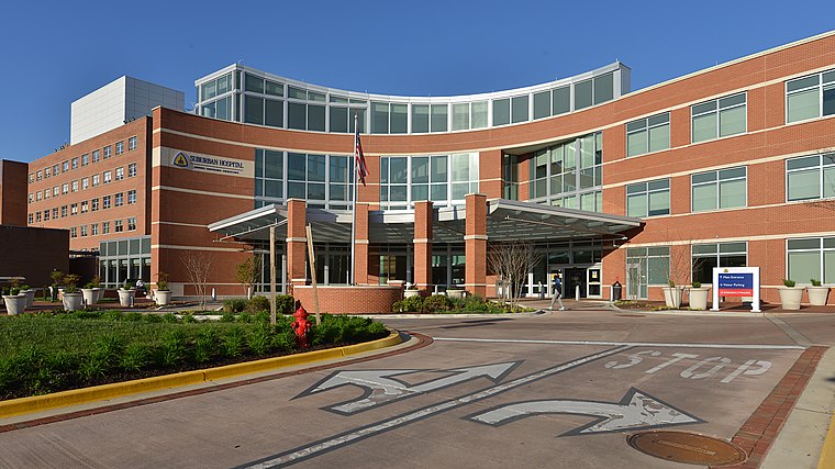 Suburban Hospital is a community-based, not-for-profit hospital serving Montgomery County, Maryland, and the surrounding area since 1943. Located in Bethesda, Maryland, Suburban is the designated trauma center for Montgomery County. Suburban Hospital is situated 1 mile northeast of Frank Parsons Rifle Range.
Places in the Area
Nearby places include Greenwich Forest and Oakmont.
Greenwich Forest
Neighborhood

Photo: CLKelly, CC BY-SA 4.0.
Greenwich Forest is a residential community in Bethesda, Maryland, between Old Georgetown Road, and Bradley Boulevard. Dating from the early 20th century, Greenwich Forest is a suburban neighborhood combining architectural design with the natural environment.
Oakmont
Village

Photo: Lorax, CC BY-SA 4.0.
Oakmont is a village and special taxing district in Montgomery County, Maryland, United States. Chartered in 1918, the village includes both sides of Oak Place and the south side of Oakmont Avenue, across Old Georgetown Road from the National Institutes of Health, in the Bethesda postal area.
Glen Echo
Village

Photo: Ben Walther, CC BY-SA 2.0.
Glen Echo is a town in Montgomery County, Maryland, United States, that was chartered in 1904. The population was 279 at the 2020 census. Glen Echo is situated 1½ miles southwest of Frank Parsons Rifle Range.
Frank Parsons Rifle Range
- Type: Sports venue
- Categories: building, shooting sport, recreation area, and sports location
- Location: Montgomery County, Capital Region, Maryland, Mid-Atlantic, United States, North America
- View on OpenStreetMap
Latitude
38.99163° or 38° 59′ 30″ northLongitude
-77.12797° or 77° 7′ 41″ westOpen location code
87C4XVRC+MROpenStreetMap ID
way 988120115OpenStreetMap feature
building=yesOpenStreetMap feature
leisure=sports_centreOpenStreetMap feature
sport=shooting
This page is based on OpenStreetMap, Wikidata, and Wikimedia Commons.
We’d love your help improving our open data sources. Thank you for contributing.
Satellite Map
Discover Frank Parsons Rifle Range from above in high-definition satellite imagery.
Notable Places Nearby
Highlights include Barton Alumni Sports Center and Freed Field.
Nearby Places
Explore places such as Wilson Building and Hendricks Building.
Montgomery County: Must-Visit Destinations
Delve into Rockville, Bethesda, Gaithersburg, and Silver Spring.
Curious Sports Venues to Discover
Uncover intriguing sports venues from every corner of the globe.
About Mapcarta. Data © OpenStreetMap contributors and available under the Open Database License". Text is available under the CC BY-SA 4.0 license, except for photos, directions, and the map. Photo: Wikimedia, CC0.