STVA / Egerland
STVA / Egerland is a parking area in Bremen, Germany which is located on Zur Westpier. Access is restricted and requires permission. STVA / Egerland is situated nearby to the building Wätjens Schloss, as well as near Wätjens Park.| Tap on a place to explore it |
- Access is restricted and requires permission.
- Type: Parking area
- Address: Zur Westpier 42, Bremen, 28755
Places of Interest Nearby
Highlights include Wätjens Park and Wätjens Fountain.
Wätjens Park
Park

Photo: Quarz, CC BY-SA 3.0.
Wätjens Park is situated 440 metres northeast of STVA / Egerland.
Wätjens Fountain
Fountain

Photo: Quarz, CC BY-SA 3.0.
Wätjens Fountain is situated 510 metres north of STVA / Egerland.
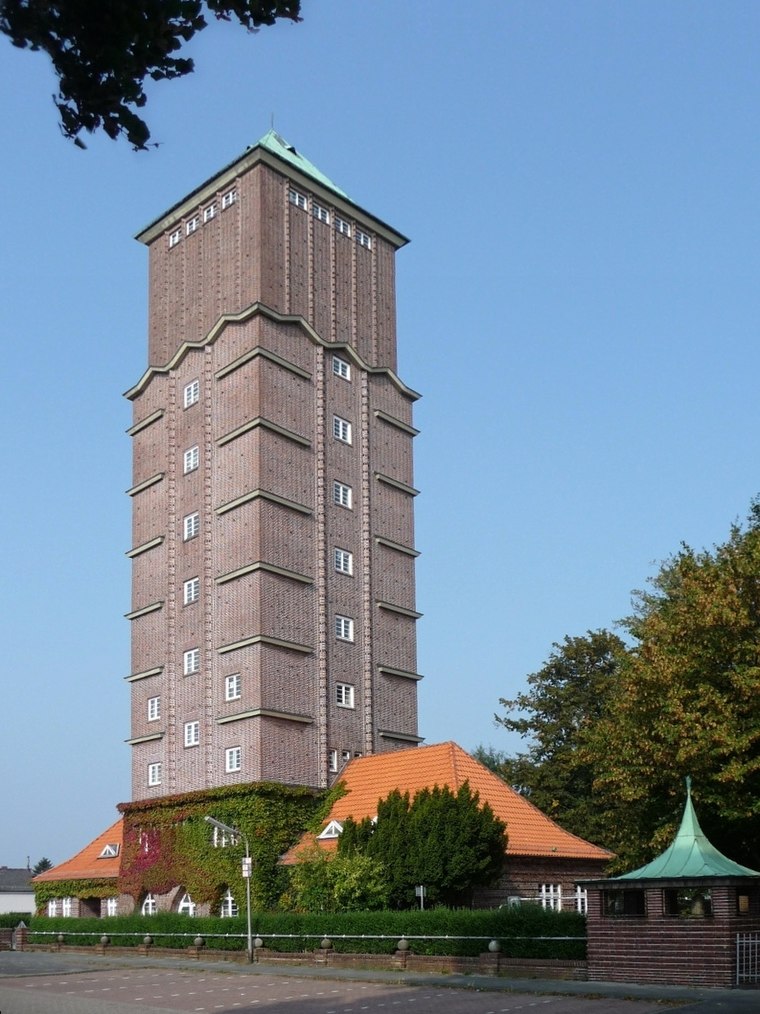
Lemwerder range front
Lighthouse

Photo: Ein Dahmer, CC BY-SA 4.0.
Lemwerder range front is a lighthouse, which is situated 560 metres south of STVA / Egerland.
Places in the Area
Nearby places include Blumenthal and Bardenfleth.
Stedingen
Locality
Stedingen is an area north of Bremen in the delta of the Weser river in north-western Germany.
STVA / Egerland
- Category: transportation
- Location: Bremen, City state Bremen, Germany, Central Europe, Europe
- View on OpenStreetMap
Latitude
53.17568° or 53° 10′ 32″ northLongitude
8.5864° or 8° 35′ 11″ eastOpen location code
9F5C5HGP+7HOpenStreetMap ID
way 99165751OpenStreetMap feature
amenity=parking
This page is based on OpenStreetMap, Wikidata, and Wikimedia Commons.
We’d love your help improving our open data sources. Thank you for contributing.
Satellite Map
Discover STVA / Egerland from above in high-definition satellite imagery.
Notable Places Nearby
Highlights include Wätjens Schloss and Wätjens Landgut, Neues Wirtschaftgebäude.
Nearby Places
Explore places such as Minke LKW- und Nutzfahrzeugreifen and Lackierzentrum Nord GmbH.
Germany: Must-Visit Destinations
Delve into Berlin, Munich, Hamburg, and Frankfurt.
Curious Parking Areas to Discover
Uncover intriguing parking areas from every corner of the globe.
About Mapcarta. Data © OpenStreetMap contributors and available under the Open Database License". Text is available under the CC BY-SA 4.0 license, except for photos, directions, and the map. Photo: Dschwen, CC BY-SA 3.0.