UW Merseburg–Hölle
UW Merseburg–Hölle is a building in Merseburg, Saalekreis, Saxony-Anhalt. UW Merseburg–Hölle is situated nearby to the church St. Norbert, as well as near the government office Nationales Zentrum für Umwelt- und Naturschutzinformationen.| Tap on a place to explore it |
Places of Interest Nearby
Highlights include St. Norbert and Merseburg Hauptbahnhof.
St. Norbert
Church

Photo: Tilman2007, CC BY-SA 3.0.
St. Norbert is a church, which is situated 100 metres northwest of UW Merseburg–Hölle.
Merseburg Hauptbahnhof
Railway station
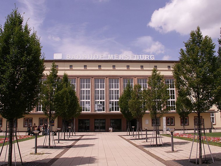 Merseburg Hauptbahnhof is the main station of the town of Merseburg in the German state of Saxony-Anhalt. It is located on the Halle–Bebra railway and Deutsche Bahn assigns it to category 4. Merseburg Hauptbahnhof is situated 300 metres northwest of UW Merseburg–Hölle.
Planetarium Merseburg
Planetarium

Photo: Wikimedia, CC BY-SA 3.0 de.
Planetarium Merseburg is situated 400 metres southwest of UW Merseburg–Hölle.
Places in the Area
Nearby places include Atzendorf and Schkopau.
Atzendorf
Village

Photo: Jwaller, CC BY-SA 4.0.
Atzendorf is a village, which is situated 3½ km southwest of UW Merseburg–Hölle.
Schkopau
Town
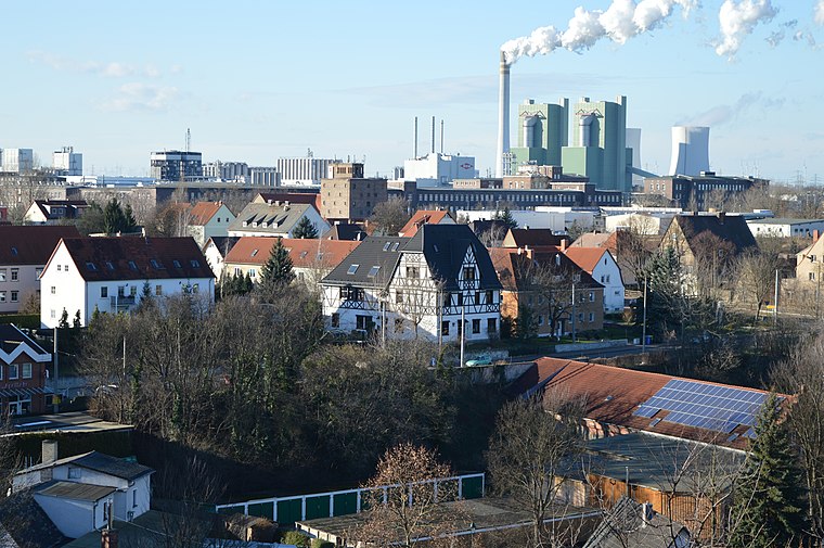
Photo: Olaf2, CC BY-SA 4.0.
Schkopau is a municipality in the Saalekreis district, in Saxony-Anhalt, Germany. Schkopau is situated 4 km north of UW Merseburg–Hölle.
Leuna
Town
 Leuna is a town in Saxony-Anhalt, eastern Germany, south of Merseburg and Halle, on the river Saale. The town is known for the Leunawerke, at 13 km2 one of the biggest chemical industrial complexes in Germany, where a very wide range of chemicals and plastics is produced. Leuna is situated 4 km southeast of UW Merseburg–Hölle.
UW Merseburg–Hölle
- Type: Building
- Location: Merseburg, Saalekreis, Saxony-Anhalt, Germany, Central Europe, Europe
- View on OpenStreetMap
Latitude
51.35578° or 51° 21′ 21″ northLongitude
11.99444° or 11° 59′ 40″ eastOpen location code
9F3H9X4V+8QOpenStreetMap ID
way 991726443OpenStreetMap feature
building=service
This page is based on OpenStreetMap, Wikidata, and Wikimedia Commons.
We’d love your help improving our open data sources. Thank you for contributing.
Satellite Map
Discover UW Merseburg–Hölle from above in high-definition satellite imagery.
Notable Places Nearby
Highlights include Nationales Zentrum für Umwelt- und Naturschutzinformationen and Klia Passage.
Nearby Places
Explore places such as Merseburg/Zentrum and Merseburg/Zentrum.
Saxony-Anhalt: Must-Visit Destinations
Delve into Magdeburg, Halle, Wittenberg, and Quedlinburg.
Curious Buildings to Discover
Uncover intriguing buildings from every corner of the globe.
About Mapcarta. Data © OpenStreetMap contributors and available under the Open Database License". Text is available under the CC BY-SA 4.0 license, except for photos, directions, and the map. Photo: Hoger, CC BY-SA 3.0 de.