Katharinenheerd
Katharinenheerd (Kreis Nordfriesland, Schleswig-Holstein) est une localité. Katharinenheerd se trouve à proximité de la localité d'Allersdorf, ainsi que de Norderweg.| Touchez un lieu pour l’explorer |
Lieux d’intérêt
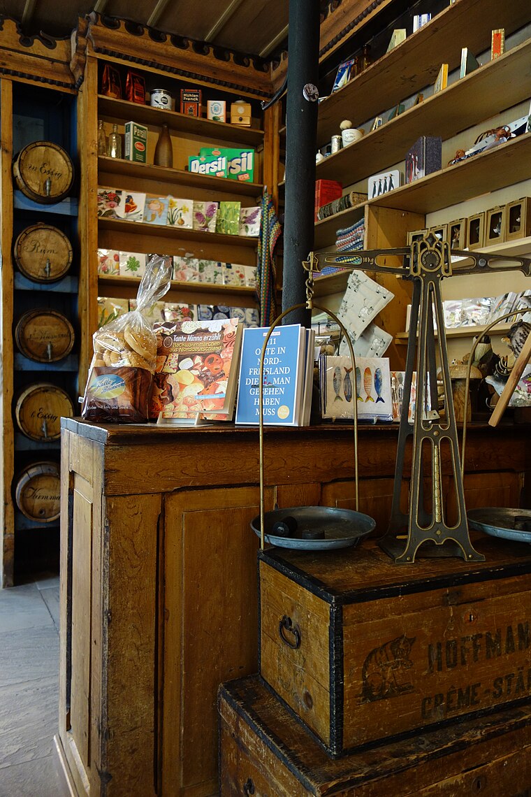
Les points forts incluent Haus Peters et St. Anna.


Katharinenheerd
- Type : localité de 169 habitants
- Aussi connu comme : « 01054063 »
- Lieu : Kreis Nordfriesland, Schleswig-Holstein, Allemagne, Europe centrale, Europe
- Voir sur OpenStreetMap
Latitude
54,3333° ou 54° 19′ 60″ nordLongitude
8,8333° ou 8° 50′ estPopulation
169Altitude
-1 mètres (-3 pieds)Open location code
9F6C8RMM+88GeoNames ID
6551562
Cette page est basée sur GeoNames, Wikidata et Wikimedia Commons.
Nous serions ravis de recevoir votre aide pour améliorer nos sources de données ouvertes. Merci pour votre contribution.
Carte satellite
Découvrez Katharinenheerd vu du ciel en imagerie satellite haute définition.
Dans d’autres langues
De l’afrikaans au zoulou — « Katharinenheerd » porte de nombreux noms.
- afrikaans : « Katharinenheerd »
- allemand : « Katharinenheerd »
- anglais : « Katharinenheerd »
- aragonais : « Katharinenheerd »
- asturien : « Katharinenheerd »
- bas allemand : « Katharinenheerd »
- basque : « Katharinenheerd »
- breton : « Katharinenheerd »
- catalan : « Katharinenheerd »
- cebuano : « Katharinenheerd »
- chinois : « 卡塔里嫩黑尔德 »
- corse : « Katharinenheerd »
- croate : « Katharinenheerd »
- danois : « Katrineherd »
- écossais : « Katharinenheerd »
- espagnol : « Katharinenheerd »
- espéranto : « Katharinenheerd »
- estonien : « Katharinenheerd »
- finnois : « Katharinenheerd »
- frioulan : « Katharinenheerd »
- frison occidental : « Katharinenheerd »
- frison septentrional : « Katharinenheerd »
- gaélique : « Katharinenheerd »
- galicien : « Katharinenheerd »
- gallois : « Katharinenheerd »
- hongrois : « Katharinenheerd »
- ido : « Katharinenheerd »
- indonésien : « Katharinenheerd »
- interlingua : « Katharinenheerd »
- interlingue : « Katharinenheerd »
- irlandais : « Katharinenheerd »
- islandais : « Katharinenheerd »
- italien : « Katharinenheerd »
- kazakh : « Катариненхерд »
- kirghiz : « Катариненхерд »
- kongo : « Katharinenheerd »
- limbourgeois : « Katharinenheerd »
- luxembourgeois : « Katharinenheerd »
- macédonien : « Катариненхерд »
- malais : « Katharinenheerd »
- malgache : « Katharinenheerd »
- minangkabau : « Katharinenheerd »
- napolitain : « Katharinenheerd »
- néerlandais : « Katharinenheerd »
- norvégien bokmål : « Katharinenheerd »
- norvégien nynorsk : « Katharinenheerd »
- occitan : « Katharinenheerd »
- ouszbek : « Katharinenheerd »
- persan : « کاتاریننهرد »
- polonais : « Katharinenheerd »
- portugais : « Katharinenheerd »
- romanche : « Katharinenheerd »
- roumain : « Katharinenheerd »
- russe : « Катариненхерд »
- sarde : « Katharinenheerd »
- serbe : « Катариненхерд »
- sicilien : « Katharinenheerd »
- slovaque : « Katharinenheerd »
- slovène : « Katharinenheerd »
- suédois : « Katharinenheerd »
- suisse alémanique : « Katharinenheerd »
- swahili : « Katharinenheerd »
- tatar : « Катариненхерд »
- tchèque : « Katharinenheerd »
- tchétchène : « Катариненхерд »
- turc : « Katharinenheerd »
- ukrainien : « Катаріненгерд »
- vietnamien : « Katharinenheerd »
- volapük : « Katharinenheerd »
- wallon : « Katharinenheerd »
- waray : « Katharinenheerd »
- wolof : « Katharinenheerd »
- zoulou : « Katharinenheerd »
- « Katharinenheerd »
Localités à proximité
Explorez des destinations telles que Katharinenheerd et Allersdorf.
Lieux notables à proximité
Les points forts incluent Katharinenheerd et Tetenbüller Kirchenkoog.
Schleswig-Holstein : Destinations à découvrir
En savoir plus sur Kiel, Lübeck, Flensbourg et Heligoland.
Lieux curieux à découvrir
Apprenez à connaître des lieux fascinants aux quatre coins du monde.
À propos de Mapcarta. Le texte est disponible sous la licence CC BY-SA 4.0, à l’exception des photos, des itinéraires et de la carte. Photo : Ypsilon from Finland, CC0.