Mühlteich
Mühlteich is a pond in Lower Austria, Austria. Mühlteich is situated nearby to the village Reingers, as well as near the hamlet Kleinhirschenschlag.| Tap on a place to explore it |
Places of Interest
Highlights include Parish church, Reingers and Ortskapelle Leopoldsdorf.

Ortskapelle Leopoldsdorf
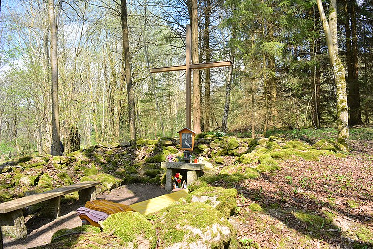
Church

Photo: Duke of W4, CC BY-SA 3.0.
Ortskapelle Leopoldsdorf is a church, which is situated 2½ km south of Mühlteich.
Places in the Area
Nearby places include Reingers and Romava.
Reingers
Village

Photo: Wikimedia, CC BY 3.0 at.
Reingers is a town in the district of Gmünd in Lower Austria, Austria.
Artolec
Village

Photo: Wikimedia, CC BY-SA 4.0.
Artolec is a village, which is situated 4½ km north of Mühlteich.
Mühlteich
- Type: Pond
- Also known as: “Muhlteich”
- Category: body of water
- Location: Lower Austria, Austria, Central Europe, Europe
- View on OpenStreetMap
Latitude
48.97007° or 48° 58′ 12″ northLongitude
15.15024° or 15° 9′ 1″ eastElevation
581 metres (1,906 feet)Open location code
8FWQX5C2+23OpenStreetMap ID
way 87074274OpenStreetMap feature
natural=waterOpenStreetMap feature
water=pondGeoNames ID
2607020
This page is based on OpenStreetMap, GeoNames, Wikidata, and Wikimedia Commons.
We’d love your help improving our open data sources. Thank you for contributing.
Satellite Map
Discover Mühlteich from above in high-definition satellite imagery.
Places with the Same Name
Discover other places named “Mühlteich”.
Localities in the Area
Explore places such as Kleinhirschenschlag and Türkenbühel.
Notable Places Nearby
Highlights include Hanfdorf Reingers and Pumptrack.
Lower Austria: Must-Visit Destinations
Delve into St. Pölten, Wiener Neustadt, Amstetten, and Klosterneuburg.
Curious Ponds to Discover
Uncover intriguing ponds from every corner of the globe.
About Mapcarta. Data © OpenStreetMap contributors and available under the Open Database License". Text is available under the CC BY-SA 4.0 license, except for photos, directions, and the map. Photo: Lonezor, CC BY-SA 3.0.