Wasserburg
Wasserburg is a farm in Fehmarn, Ostholstein, Schleswig-Holstein. Wasserburg is situated nearby to the village Sulsdorf, as well as near Orth.| Tap on a place to explore it |
Places of Interest
Highlights include Fehmarn Flügge and Krummsteert-Sulsdorfer Wiek / Fehmarn.
Fehmarn Flügge
Scenic viewpoint
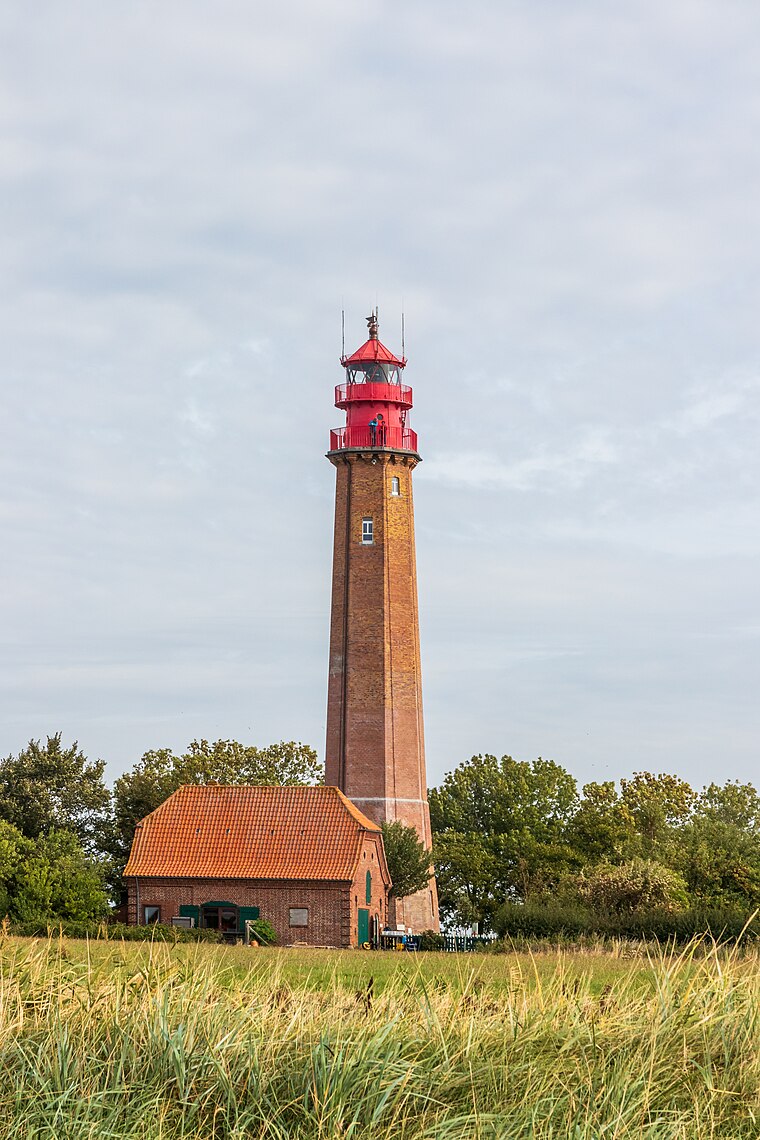
Photo: Matthias Süßen, CC BY-SA 4.0.
Fehmarn Flügge is a scenic viewpoint.
Krummsteert-Sulsdorfer Wiek / Fehmarn
Nature reserve

Photo: Friedjof, CC BY-SA 3.0.
Krummsteert-Sulsdorfer Wiek / Fehmarn is a nature reserve.
Fehmarn Windmühle Lemkenhafen
Museum
 Fehmarn Windmühle Lemkenhafen is a museum, which is situated 3½ km east of Wasserburg.
Places in the Area
Nearby places include Orth and Petersdorf auf Fehmarn.

Petersdorf auf Fehmarn
Village

Photo: Superbass, CC BY-SA 4.0.
Petersdorf auf Fehmarn is a village, which is situated 3 km northeast of Wasserburg.
Dänschendorf
Village

Photo: Moritz Wickendorf, CC BY 3.0.
Dänschendorf is a village, which is situated 5 km northeast of Wasserburg.
Wasserburg
- Type: Farm
- Category: agriculture
- Location: Fehmarn, Ostholstein, East Holstein, Schleswig-Holstein, Germany, Central Europe, Europe
- View on OpenStreetMap
Latitude
54.45691° or 54° 27′ 25″ northLongitude
11.04361° or 11° 2′ 37″ eastElevation
2 metres (7 feet)Open location code
9F6HF24V+QCGeoNames ID
2813759
This page is based on GeoNames, Wikidata, and Wikimedia Commons.
We’d love your help improving our open data sources. Thank you for contributing.
Satellite Map
Discover Wasserburg from above in high-definition satellite imagery.
In Other Languages
“Wasserburg” goes by many names.
- German: “Wasserburg”
Places with the Same Name
Discover other places named “Wasserburg”.
Localities in the Area
Explore places such as Sulsdorf and Püttsee.
Notable Places Nearby
Highlights include Sulsdorfer Wiek and Gollendorfer Wiek.
East Holstein: Must-Visit Destinations
Delve into Lübeck, Ratzeburg, Timmendorfer Strand, and Grömitz.
Curious Places to Discover
Uncover intriguing places from every corner of the globe.
About Mapcarta. Text is available under the CC BY-SA 4.0 license, except for photos, directions, and the map. Photo: Wikimedia, Public domain.