Mühl-Berg
Mühl-Berg is a peak in Eisighofen, Rhein-Lahn-Kreis, Rhineland-Palatinate and has an elevation of 326 metres. Mühl-Berg is situated nearby to the village Michelbach, as well as near Reckenroth.| Tap on a place to explore it |
Places of Interest
Highlights include Michelbach gliding site and Laufenselden gliding site.
Michelbach gliding site
Aerodrome

Photo: Carsten Steger, CC BY-SA 4.0.
Michelbach gliding site is an aerodrome.
Laufenselden gliding site
Aerodrome

Photo: Carsten Steger, CC BY-SA 4.0.
Laufenselden gliding site is an aerodrome.
Places in the Area
Nearby places include Reckenroth and Dörsdorf.
Reckenroth
Village
Reckenroth is a municipality in the district of Rhein-Lahn, in Rhineland-Palatinate, in western Germany. It belongs to the association community of Aar-Einrich.
Dörsdorf
Village

Photo: KaminskyPeter, CC BY-SA 4.0.
Dörsdorf is a municipality in the district of Rhein-Lahn, in Rhineland-Palatinate, in western Germany. It belongs to the community of Aar-Einrich.
Berghausen
Village
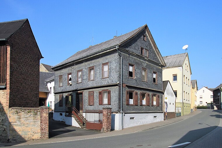
Photo: KaminskyPeter, CC BY-SA 4.0.
Berghausen is a municipality in the district of Rhein-Lahn, in Rhineland-Palatinate, in western Germany. It belongs to the association community of Aar-Einrich.
Mühl-Berg
- Type: Peak with an elevation of 326 metres
- Also known as: “Muhlberg”
- Categories: hill and landform
- Location: Eisighofen, Rhein-Lahn-Kreis, Rhineland-Palatinate, Germany, Central Europe, Europe
- View on OpenStreetMap
Latitude
50.23497° or 50° 14′ 6″ northLongitude
8.04813° or 8° 2′ 53″ eastElevation
326 metres (1,070 feet)Open location code
9F2C62MX+X7OpenStreetMap ID
node 4959047696OpenStreetMap feature
natural=peak
This page is based on OpenStreetMap, GeoNames, Wikidata, and Wikimedia Commons.
We’d love your help improving our open data sources. Thank you for contributing.
Satellite Map
Discover Mühl-Berg from above in high-definition satellite imagery.
In Other Languages
From Cebuano to German—“Mühl-Berg” goes by many names.
Places with the Same Name
Discover other places named “Mühl-Berg”.
Localities in the Area
Explore places such as Michelbach and Hausen über Aar.
Notable Places Nearby
Highlights include Rettungswache Aarbergen and Bahnhof Michelbach.
Rhineland-Palatinate: Must-Visit Destinations
Delve into Mainz, Trier, Koblenz, and Worms.
Curious Hills to Discover
Uncover intriguing hills from every corner of the globe.
About Mapcarta. Data © OpenStreetMap contributors and available under the Open Database License". Text is available under the CC BY-SA 4.0 license, except for photos, directions, and the map. Photo: Traveler100, CC BY-SA 3.0.