Lerchen-Berg
Lerchen-Berg is a hill in Wanzleben-Börde, Börde Rural District, Saxony-Anhalt and has an elevation of 133 metres. Lerchen-Berg is situated nearby to the village Groß Rodensleben, as well as near Domersleben.| Tap on a place to explore it |
Places of Interest
Highlights include Kulturhaus Domersleben and Komturei Bergen.
Kulturhaus Domersleben
Community center
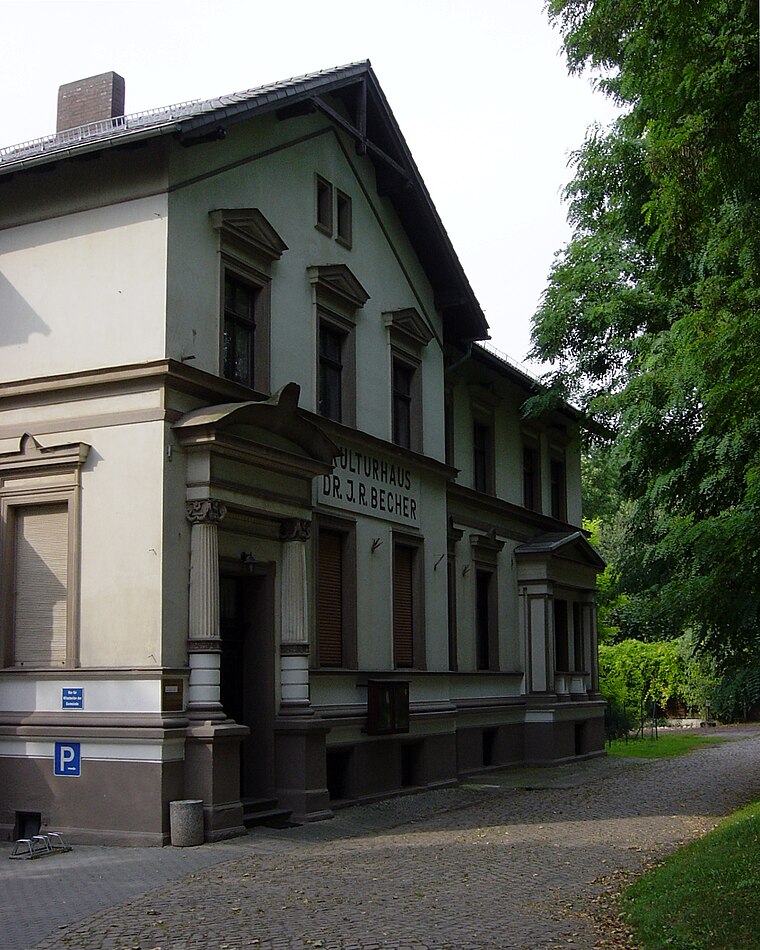
Photo: Reise Reise, CC BY-SA 4.0.
Kulturhaus Domersleben is a community center, which is situated 2½ km east of Lerchen-Berg.
Komturei Bergen
Manor estate

Photo: Reise Reise, CC BY-SA 3.0.
Komturei Bergen is a manor estate, which is situated 3 km northwest of Lerchen-Berg.
St. Petri
Church

Photo: Reise Reise, CC BY-SA 3.0.
St. Petri is a church, which is situated 2½ km north of Lerchen-Berg.
Places in the Area
Nearby places include Remkersleben and Klein Wanzleben.
Remkersleben
Village

Photo: Radler59, CC BY-SA 3.0.
Remkersleben is a village, which is situated 3½ km west of Lerchen-Berg.
Klein Wanzleben
Village
Klein Wanzleben is a village and a former municipality in the Börde district in Saxony-Anhalt, Germany. Since September 1, 2010, it is now part of the town Wanzleben-Börde. Klein Wanzleben is situated 4 km southwest of Lerchen-Berg.
Wanzleben
Town

Photo: Olaf2, CC BY-SA 3.0.
Wanzleben is a town and a former municipality in the Börde district, in Sachsen-Anhalt, Germany. Between 2004 and 2010 it was the seat of the Verwaltungsgemeinschaft Börde Wanzleben. Wanzleben is situated 5 km southeast of Lerchen-Berg.
Lerchen-Berg
- Type: Hill with an elevation of 133 metres
- Description: hill near Wanzleben, Germany
- Category: landform
- Location: Wanzleben-Börde, Börde Rural District, Saxony-Anhalt, Germany, Central Europe, Europe
- View on OpenStreetMap
This page is based on GeoNames, Wikidata, and Wikimedia Commons.
We’d love your help improving our open data sources. Thank you for contributing.
Satellite Map
Discover Lerchen-Berg from above in high-definition satellite imagery.
In Other Languages
From Cebuano to German—“Lerchen-Berg” goes by many names.
- Cebuano: “Lerchen-Berg”
- German: “Lerchenberg”
Places with the Same Name
Discover other places named “Lerchen-Berg”.
Localities in the Area
Explore places such as Groß Rodensleben and Domersleben.
Notable Places Nearby
Highlights include See-Berg and Huse Mühlen-Berg.
Saxony-Anhalt: Must-Visit Destinations
Delve into Magdeburg, Halle, Wittenberg, and Quedlinburg.
Curious Places to Discover
Uncover intriguing places from every corner of the globe.
About Mapcarta. Text is available under the CC BY-SA 4.0 license, except for photos, directions, and the map. Photo: GMM, Public domain.