Hohelieth
Hohelieth is a farm in Manhagen, Ostholstein, Schleswig-Holstein. Hohelieth is situated nearby to the village Bentfeld, as well as near Beschendorf.| Tap on a place to explore it |
Places in the Area
Nearby places include Beschendorf and Manhagen.
Beschendorf
Village
Beschendorf is a municipality and a town in the district of Ostholstein, in Schleswig-Holstein, Germany. In 1322, this toponym was recorded with the name of Beckendorp.
Manhagen
Village
Manhagen is a municipality in the district of Ostholstein, in Schleswig-Holstein, Germany. Manhagen is situated 3 km northeast of Hohelieth.
Schashagen
Village
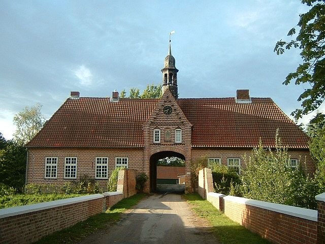
Photo: Peng, CC BY-SA 3.0.
Schashagen is a municipality in the district of Ostholstein, in Schleswig-Holstein, Germany. Schashagen is situated 4½ km south of Hohelieth.
Hohelieth
- Type: Farm
- Category: agriculture
- Location: Manhagen, Ostholstein, Schleswig-Holstein, Germany, Central Europe, Europe
- View on OpenStreetMap
Latitude
54.17386° or 54° 10′ 26″ northLongitude
10.89552° or 10° 53′ 44″ eastElevation
39 metres (128 feet)Open location code
9F6G5VFW+G6GeoNames ID
2902035
This page is based on GeoNames, Wikidata, and Wikimedia Commons.
We’d love your help improving our open data sources. Thank you for contributing.
Satellite Map
Discover Hohelieth from above in high-definition satellite imagery.
In Other Languages
“Hohelieth” goes by many names.
- German: “Hohelieth”
Places with the Same Name
Discover other places named “Hohelieth”.
Localities in the Area
Explore places such as Bentfeld and Suxdorf.
Notable Places Nearby
Highlights include Großer Bruch and Sievershagener Forst.
Schleswig-Holstein: Must-Visit Destinations
Delve into Kiel, Lübeck, Flensburg, and Heligoland.
Curious Places to Discover
Uncover intriguing places from every corner of the globe.
About Mapcarta. Text is available under the CC BY-SA 4.0 license, except for photos, directions, and the map. Photo: Ypsilon from Finland, CC0.