Auf der Hardt
Auf der Hardt is a hill in Ormont, Vulkaneifel, Rhineland-Palatinate and has an elevation of 584 metres. Auf der Hardt is situated nearby to the locality Ormont, as well as near the village Hallschlag.| Tap on a place to explore it |
Places of Interest
Highlights include St. Nikolaus.
Places in the Area
Nearby places include Hallschlag and Scheid.
Hallschlag
Village

Photo: Wikimedia, CC BY-SA 2.0.
Hallschlag is a village in the Vulkaneifel district in Rhineland-Palatinate, Germany. The municipality belongs to the Verbandsgemeinde of Obere Kyll, whose seat is in the municipality of Gerolstein.
Scheid
Village
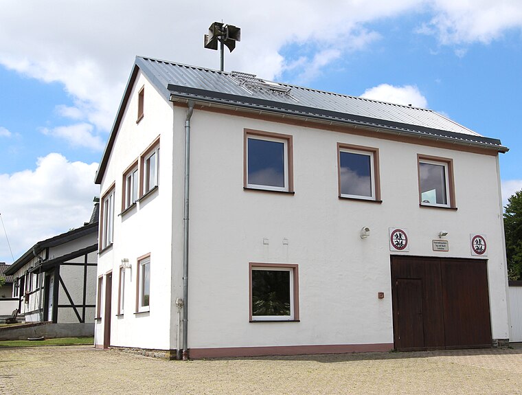
Photo: Colling-architektur, CC BY-SA 3.0.
Scheid is an Ortsgemeinde – a municipality belonging to a Verbandsgemeinde, a kind of collective municipality – in the Vulkaneifel district in Rhineland-Palatinate, Germany. Scheid is situated 3 km northwest of Auf der Hardt.
Frauenkron
Village

Photo: Lindenayleen, CC BY-SA 4.0.
Frauenkron is a village, which is situated 4½ km north of Auf der Hardt.
Auf der Hardt
- Type: Hill with an elevation of 584 metres
- Description: hill in Germany
- Category: landform
- Location: Ormont, Vulkaneifel, Rhineland-Palatinate, Germany, Central Europe, Europe
- View on OpenStreetMap
This page is based on GeoNames, Wikidata, and Wikimedia Commons.
We’d love your help improving our open data sources. Thank you for contributing.
Satellite Map
Discover Auf der Hardt from above in high-definition satellite imagery.
In Other Languages
From Cebuano to German—“Auf der Hardt” goes by many names.
- Cebuano: “Auf der Hardt”
- Dutch: “Auf der Hardt”
- German: “Auf der Hardt”
Places with the Same Name
Discover other places named “Auf der Hardt”.
Localities in the Area
Explore places such as Ormont and Hallschlag.
Notable Places Nearby
Highlights include Gold-Berg and Weidenhöchst.
Rhineland-Palatinate: Must-Visit Destinations
Delve into Mainz, Trier, Koblenz, and Worms.
Curious Places to Discover
Uncover intriguing places from every corner of the globe.
About Mapcarta. Text is available under the CC BY-SA 4.0 license, except for photos, directions, and the map. Photo: Traveler100, CC BY-SA 3.0.