Feldleiten
Feldleiten is a slope in Lower Austria, Austria. Feldleiten is situated nearby to the locality Hollenstein, as well as near the village Breitenwaida.| Tap on a place to explore it |
Places of Interest
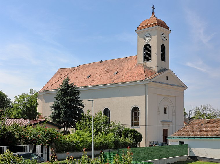
Highlights include Breitenwaida Kirche and Breitenwaida halt.

Places in the Area
Nearby places include Raschala and Füllersdorf.

Füllersdorf
Village

Photo: Linie29, CC BY-SA 3.0.
Füllersdorf is a village, which is situated 8 km east of Feldleiten.
Ringendorf
Village

Photo: Maclemo, CC BY-SA 4.0.
Ringendorf is a village, which is situated 8 km east of Feldleiten.
Feldleiten
- Type: Slope
- Category: landform
- Location: Lower Austria, Austria, Central Europe, Europe
- View on OpenStreetMap
Latitude
48.52472° or 48° 31′ 29″ northLongitude
16.08694° or 16° 5′ 13″ eastElevation
289 metres (948 feet)Open location code
8FWRG3FP+VQGeoNames ID
3320275
This page is based on GeoNames, Wikidata, and Wikimedia Commons.
We’d love your help improving our open data sources. Thank you for contributing.
Satellite Map
Discover Feldleiten from above in high-definition satellite imagery.
Places with the Same Name
Discover other places named “Feldleiten”.
Localities in the Area
Explore places such as Hollenstein and Breitenwaida.
Notable Places Nearby
Highlights include Windtal and Rammelkreuz.
Lower Austria: Must-Visit Destinations
Delve into St. Pölten, Wiener Neustadt, Amstetten, and Klosterneuburg.
Curious Slopes to Discover
Uncover intriguing slopes from every corner of the globe.
About Mapcarta. Text is available under the CC BY-SA 4.0 license, except for photos, directions, and the map. Photo: Lonezor, CC BY-SA 3.0.