Pomona Congregational Mexican Church
Pomona Congregational Mexican Church is a church in Los Angeles, Southern California, California.| Tap on a place to explore it |
Places of Interest Nearby
Highlights include Pomona–Downtown station and Western University of Health Sciences.
Pomona–Downtown station
Railway station

Photo: Ron Reiring, CC BY 2.0.
Pomona–Downtown station, is a train station in Pomona, California, United States. It is primarily served by Metrolink’s Riverside Line commuter rail service. Pomona–Downtown station is situated 3,400 feet northeast of Pomona Congregational Mexican Church.
Western University of Health Sciences
University
 The Western University of Health Sciences is a private medical university in Pomona, California. With an enrollment of 3,724 students, WesternU offers more than twenty academic programs in multiple colleges. Western University of Health Sciences is situated 1 mile northeast of Pomona Congregational Mexican Church.
Wally Parks NHRA Motorsports Museum
Museum

Photo: Omar Bárcena, CC BY 2.0.
The Wally Parks NHRA Motorsports Museum, located in Fair plex, Los Angeles County, houses a collection of memorabilia, automobiles, and motorcycles related to the sport of hot-rodding. Wally Parks NHRA Motorsports Museum is situated 2 miles north of Pomona Congregational Mexican Church.
Places in the Area
Nearby places include Pomona and Diamond Bar.
Pomona
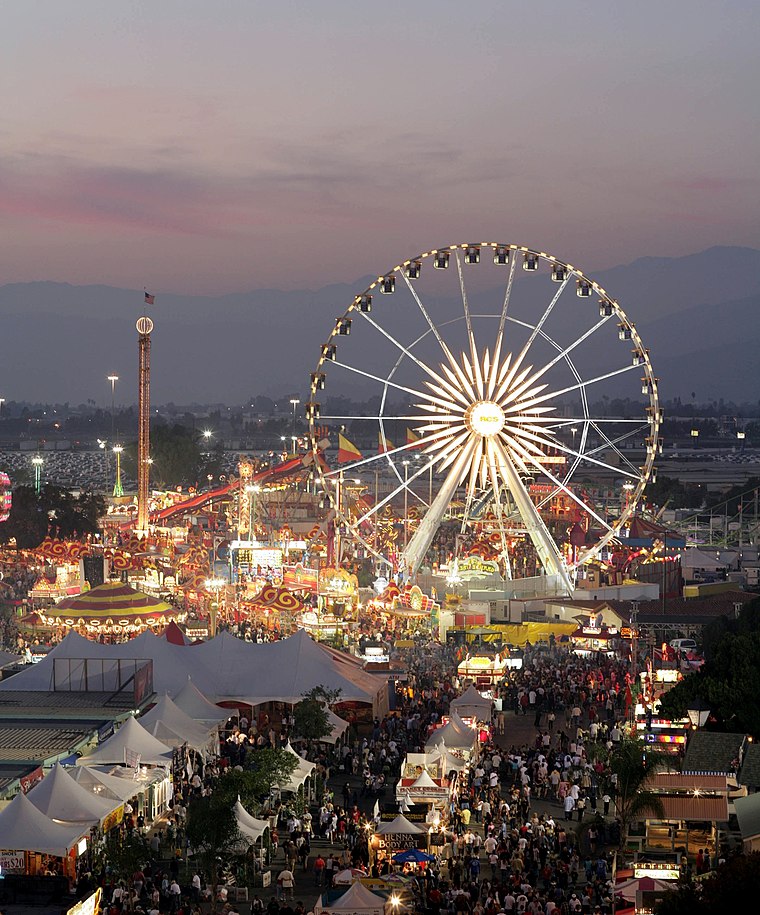
Photo: TheRealThummer, Public domain.
Pomona is in the San Gabriel Valley, near Los Angeles, California. Named after the Roman goddess of fruit, in the 1920s it was indeed known as "the Queen of the Citrus Belt." However, its origins preceded that epoch as an allotment given to two ranchers, Ricardo Véjar and Ygnacio Palomares, in the 1830s, when the territory was still part of Mexico.
Diamond Bar
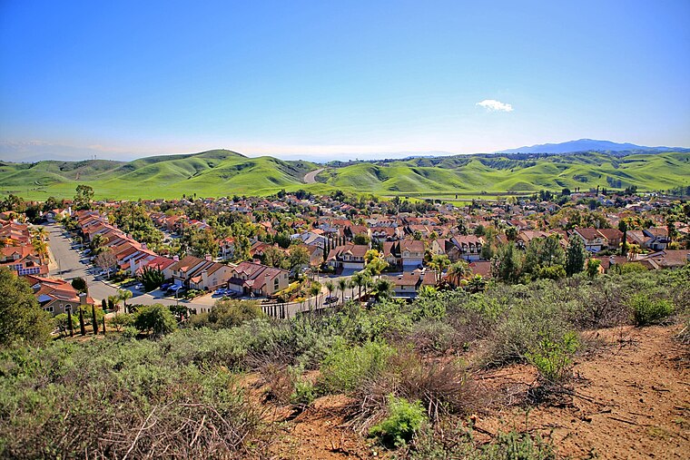
Photo: Thebluewriter, CC BY-SA 4.0.
Diamond Bar is a city in eastern Los Angeles County, California, United States. The 2020 census listed a population of 55,072. It is one of a few cities in California with a majority Asian population.
La Verne
 La Verne is a city in Los Angeles County, California, United States. The population was 31,334 at the 2020 census.
Pomona Congregational Mexican Church
- Type: Church
- Categories: place of worship and religion
- Location: Los Angeles, Southern California, California, United States, North America
- View on OpenStreetMap
Latitude
34.05196° or 34° 3′ 7″ northLongitude
-117.75839° or 117° 45′ 30″ westElevation
830 feet (253 metres)Open location code
8564362R+QJOpenStreetMap ID
node 358827524OpenStreetMap feature
amenity=place_of_worshipGeoNames ID
5384175
This page is based on OpenStreetMap, GeoNames, Wikidata, and Wikimedia Commons.
We’d love your help improving our open data sources. Thank you for contributing.
Satellite Map
Discover Pomona Congregational Mexican Church from above in high-definition satellite imagery.
Localities in the Area
Explore places such as Edison Historic District and Spadra.
Nearby Places
Explore places such as Lopez Elementary School and Eagles Hall.
Los Angeles: Must-Visit Destinations
Delve into Hollywood, San Gabriel Valley, San Fernando Valley, and Long Beach.
Curious Churches to Discover
Uncover intriguing churches from every corner of the globe.
About Mapcarta. Data © OpenStreetMap contributors and available under the Open Database License". Text is available under the CC BY-SA 4.0 license, except for photos, directions, and the map. Photo: Mfield, CC BY-SA 3.0.