San Rafael
San Rafael is a farm in San Luis de Palenque, Casanare Department. San Rafael is situated nearby to the locality El Encanto, as well as near Mamuco.| Tap on a place to explore it |
Places of Interest
Highlights include Aqueduct.
Aqueduct
Waterworks
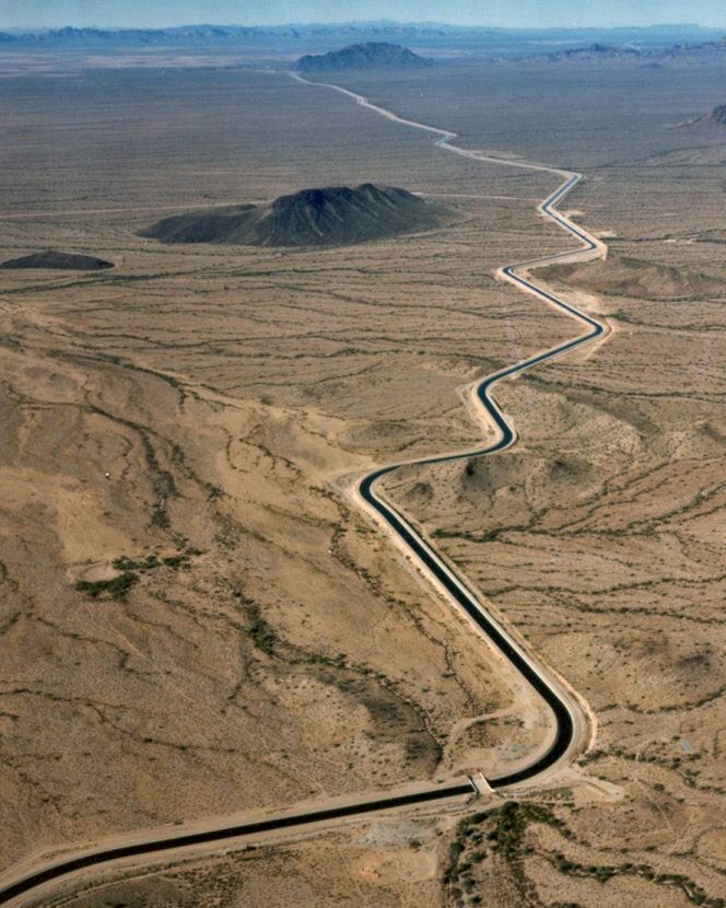
Photo: Wikimedia, Public domain.
An aqueduct is a watercourse constructed to carry water from a source to a distribution point far away. In modern engineering, the term aqueduct is used for any system of pipes, ditches, canals, tunnels, and other structures used for this purpose.
Places in the Area
Nearby places include San Luis de Palenque.
San Luis de Palenque
Town

Photo: Llaneroibague, CC BY-SA 4.0.
San Luis de Palenque is a town and municipality in the Department of Casanare, Colombia. The town is on a bend of the Pauto River, a tributary of the Meta River. It is served by San Luis de Palenque Airport. San Luis de Palenque is situated 10 km northeast of San Rafael.
San Rafael
- Type: Farm
- Category: agriculture
- Location: San Luis de Palenque, Casanare Department, Colombia, South America
- View on OpenStreetMap
Latitude
5.37996° or 5° 22′ 48″ northLongitude
-71.80994° or 71° 48′ 36″ westElevation
175 metres (574 feet)Open location code
67QC95HR+X2GeoNames ID
6197579
This page is based on GeoNames, Wikidata, and Wikimedia Commons.
We’d love your help improving our open data sources. Thank you for contributing.
Satellite Map
Discover San Rafael from above in high-definition satellite imagery.
Places with the Same Name
Discover other places named “San Rafael”.
Localities in the Area
Explore places such as El Encanto and Mamuco.
Notable Places Nearby
Highlights include La Bendición and La Barquerena.
Colombia: Must-Visit Destinations
Delve into Bogotá, Medellín, Cali, and Cartagena.
Curious Farms to Discover
Uncover intriguing farms from every corner of the globe.
About Mapcarta. Text is available under the CC BY-SA 4.0 license, except for photos, directions, and the map. Photo: Wikimedia, CC0.