Quebrada Clavellina
Quebrada Clavellina is a stream in Valle del Cauca, Pacifica and has an elevation of 1,262 metres. Quebrada Clavellina is situated nearby to the locality La Estrella, as well as near the hamlet San Vicente.| Tap on a place to explore it |
Places in the Area
Nearby places include Jamundí.
Jamundí
Town
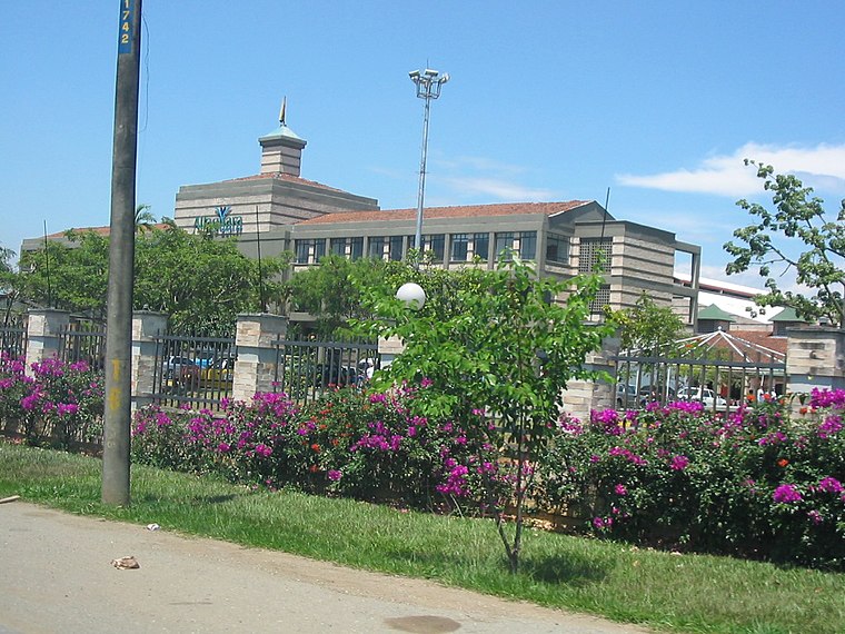
Photo: Martha Rivero, CC BY 2.0.
Jamundí is a town and municipality in the Department of Valle del Cauca, Colombia. Jamundí is located 17 kilometres south of Cali in the west riverside of the Cauca River The average temperature is 23 °C. Jamundí is situated 9 km east of Quebrada Clavellina.
Quebrada Clavellina
- Type: Stream
- Category: body of water
- Location: Valle del Cauca, Pacifica, Colombia, South America
- View on OpenStreetMap
Latitude
3.27587° or 3° 16′ 33″ northLongitude
-76.61899° or 76° 37′ 8″ westElevation
1,262 metres (4,140 feet)Open location code
67M579GJ+8CGeoNames ID
8182557
This page is based on GeoNames, Wikidata, and Wikimedia Commons.
We’d love your help improving our open data sources. Thank you for contributing.
Satellite Map
Discover Quebrada Clavellina from above in high-definition satellite imagery.
In Other Languages
“Quebrada Clavellina” goes by many names.
- Spanish: “Quebrada Clavellina”
Localities in the Area
Explore places such as La Estrella and San Vicente.
Notable Places Nearby
Highlights include Loma Las Delicias and Alto El Morro.
Valle del Cauca: Must-Visit Destinations
Delve into Cali, Buenaventura, Palmira, and Buga.
Curious Streams to Discover
Uncover intriguing streams from every corner of the globe.
About Mapcarta. Text is available under the CC BY-SA 4.0 license, except for photos, directions, and the map. Photo: Wikimedia, CC BY-SA 3.0.