Själaberget
Själaberget is an island in Kronoby, Jakobstadsregionen, Ostrobothnia. Själaberget is situated nearby to the locality Boholmen, as well as near Hellot.| Tap on a place to explore it |
Places in the Area
Nearby places include Mäntykangas and Kokkola.
Mäntykangas
Suburb
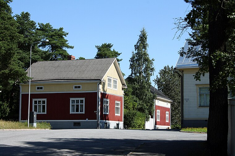
Photo: Jukka68, CC BY-SA 3.0.
Mäntykangas is a suburb, which is situated 8 km northeast of Själaberget.
Kokkola

Photo: Ypsilon from Finland, CC0.
Kokkola is a town in Central Ostrobothnia, Finland, with a population of 48,000. It's the largest town in the region, with industry based on chemicals and metals. The old wooden town has been well-preserved, and is the main reason to visit.
Själaberget
- Type: Island
- Also known as: “Sjaelaberget”
- Category: landform
- Location: Kronoby, Jakobstadsregionen, Ostrobothnia, West Coast, Finland, Nordic countries, Europe
- View on OpenStreetMap
Latitude
63.78521° or 63° 47′ 7″ northLongitude
22.99814° or 22° 59′ 53″ eastOpen location code
9GM4QXPX+37GeoNames ID
10096263
This page is based on GeoNames, Wikidata, and Wikimedia Commons.
We’d love your help improving our open data sources. Thank you for contributing.
Satellite Map
Discover Själaberget from above in high-definition satellite imagery.
In Other Languages
“Själaberget” goes by many names.
- Swedish: “Själaberget”
Localities in the Area
Explore places such as Boholmen and Hellot.
Notable Places Nearby
Highlights include Toholmen and Toholmsgrundet.
Ostrobothnia: Must-Visit Destinations
Delve into Vaasa, Jakobstad, Kristinestad, and Kaskinen.
Curious Places to Discover
Uncover intriguing places from every corner of the globe.
About Mapcarta. Text is available under the CC BY-SA 4.0 license, except for photos, directions, and the map. Photo: Wikimedia, Public domain.