Arroyo Sarandí
Arroyo Sarandí is an abandoned watercourse in Buenos Aires, Pampas. Arroyo Sarandí is situated nearby to the locality Cuatro Bocas, as well as near the hamlet Puerto Paraná.| Tap on a place to explore it |
Places in the Area
Nearby places include Dique Luján and Belén de Escobar.
Dique Luján
Village
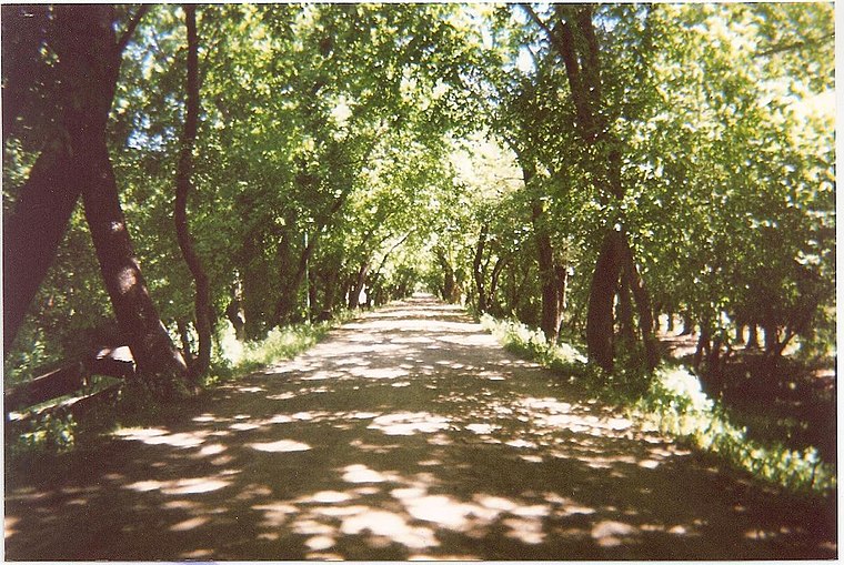
Photo: Elpibedelavia, Public domain.
Dique Luján is a locality in Tigre Partido, Buenos Aires Province, Argentina. It is part of the urban agglomeration of Greater Buenos Aires. It became well known worldwide in 2020 as the place where footballer Diego Maradona died. Dique Luján is situated 9 km south of Arroyo Sarandí.
Belén de Escobar
Town

Photo: Alpertron, CC BY-SA 4.0.
Belén de Escobar is a city in the urban conurbation of Greater Buenos Aires in Buenos Aires Province, Argentina. It is the administrative seat for Escobar Partido. Belén de Escobar is situated 10 km southwest of Arroyo Sarandí.
Arroyo Sarandí
- Type: Abandoned watercourse
- Also known as: “Arroyo Sarandi”
- Category: landform
- Location: Buenos Aires, Pampas, Argentina, South America
- View on OpenStreetMap
Latitude
-34.28672° or 34° 17′ 12″ southLongitude
-58.71368° or 58° 42′ 49″ westElevation
13 metres (43 feet)Open location code
48Q3P77P+8GGeoNames ID
11151507
This page is based on GeoNames, Wikidata, and Wikimedia Commons.
We’d love your help improving our open data sources. Thank you for contributing.
Satellite Map
Discover Arroyo Sarandí from above in high-definition satellite imagery.
In Other Languages
“Arroyo Sarandí” goes by many names.
- Spanish: “Arroyo Sarandí”
Places with the Same Name
Discover other places named “Arroyo Sarandí”.
Localities in the Area
Explore places such as Cuatro Bocas and Puerto Paraná.
Notable Places Nearby
Highlights include Puerto Paraná and Port of Escobar.
Buenos Aires: Must-Visit Destinations
Delve into Buenos Aires, La Plata, Mar del Plata, and Centro.
Curious Abandoned Watercourses to Discover
Uncover intriguing abandoned watercourses from every corner of the globe.
About Mapcarta. Text is available under the CC BY-SA 4.0 license, except for photos, directions, and the map. Photo: Mbusin, CC BY-SA 4.0.