Wonthaggi Laundry Room
Wonthaggi Laundry Room is a laundromat in Bass Coast Shire, Victoria which is located on McKenzie Street. Wonthaggi Laundry Room is situated nearby to the park Wonthaggi Children’s Playground Reserve, as well as near the nature reserve Wonthaggi G240 Bushland Reserve.| Tap on a place to explore it |
Places of Interest Nearby
Highlights include State Coal Mine.
State Coal Mine
The State Coal Mine, also known as State Coal Mine Heritage Area, is a former 20th-century state-owned black coal mine located in Wonthaggi, Victoria, Australia. The mine was operational from 1910 until 1968 and is now a state park and tourist attraction. State Coal Mine is situated 2½ km south of Wonthaggi Laundry Room.Places in the Area
Nearby places include Wonthaggi and Cape Paterson.
Wonthaggi

Photo: Wikimedia, CC BY-SA 2.0.
Wonthaggi is a town of about 8,400 people in South Gippsland, Victoria, Australia. It is on the Bass Highway, a few kilometres from the Bass Strait coast and east of Phillip Island.
Cape Paterson
Village
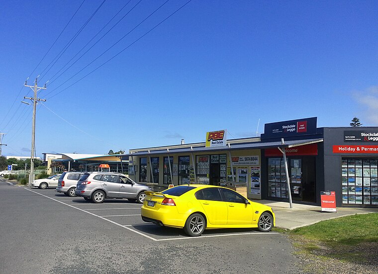
Photo: Dalysporter, CC BY-SA 3.0.
Cape Paterson is town located near the town of Wonthaggi, 132 kilometres south-east of Melbourne via the South Gippsland and Bass Highways, in the Bass Coast Shire of Gippsland, Victoria, Australia. Cape Paterson is situated 8 km south of Wonthaggi Laundry Room.
Wonthaggi Laundry Room
- Type: Laundromat
- Address: 112 McKenzie Street
- Category: shop
- Location: Bass Coast Shire, Victoria, Australia, Oceania
- View on OpenStreetMap
Latitude
-38.59796° or 38° 35′ 53″ southLongitude
145.59285° or 145° 35′ 34″ eastOpen location code
4RH7CH2V+R4OpenStreetMap ID
node 10005324691OpenStreetMap feature
shop=laundry
This page is based on OpenStreetMap, Wikidata, and Wikimedia Commons.
We’d love your help improving our open data sources. Thank you for contributing.
Satellite Map
Discover Wonthaggi Laundry Room from above in high-definition satellite imagery.
Notable Places Nearby
Highlights include Wonthaggi Children’s Playground Reserve and Wonthaggi G240 Bushland Reserve.
Nearby Places
Explore places such as Dog Wash and Ezyas Wonthaggi Car Wash.
Victoria: Must-Visit Destinations
Delve into Melbourne, CBD, Geelong, and Ballarat.
Curious Laundromats to Discover
Uncover intriguing laundromats from every corner of the globe.
About Mapcarta. Data © OpenStreetMap contributors and available under the Open Database License". Text is available under the CC BY-SA 4.0 license, except for photos, directions, and the map. Photo: Ricmik, CC BY-SA 3.0.