Los Pelúes/Santa Inés
Los Pelúes/Santa Inés is a bus stop in Puerto Montt, Llanquihue Province, Los Lagos. Los Pelúes/Santa Inés is situated nearby to the church Parroquia Cristo Salvador, as well as near the community center Junta de Vecinos «Gabriela Mistral» Villa Olímpica.| Tap on a place to explore it |
Places of Interest Nearby
Highlights include Hospital Puerto Montt and Iglesia de los Padres Jesuitas, Puerto Montt.
Hospital Puerto Montt
Hospital

Photo: Gobierno de Chile, CC BY 2.0.
Hospital Puerto Montt is situated 1½ km north of Los Pelúes/Santa Inés.
Iglesia de los Padres Jesuitas, Puerto Montt
Church

Photo: Ppn87, CC BY-SA 4.0.
Iglesia de los Padres Jesuitas, Puerto Montt is a church, which is situated 2 km southeast of Los Pelúes/Santa Inés.
Plaza de Armas Puerto Montt
Square
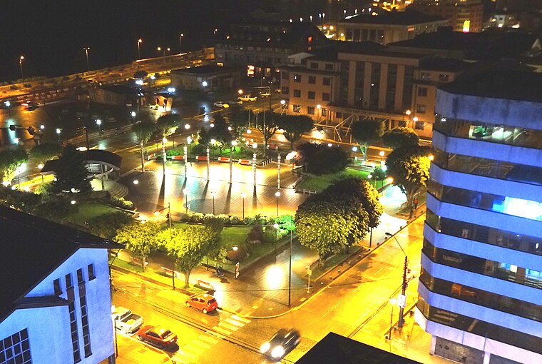
Photo: Rodolfo Ditzel Lacoa, CC BY-SA 3.0.
Plaza de Armas Puerto Montt is a square, which is situated 2½ km southeast of Los Pelúes/Santa Inés.
Places in the Area
Nearby places include Pelluco and Alerce.
Pelluco
Suburb

Photo: Ivotoledo45, CC BY-SA 4.0.
Pelluco is a suburb, which is situated 6 km southeast of Los Pelúes/Santa Inés.
Alerce
Town
Alerce is a Chilean town in the communes of Puerto Montt and Puerto Varas in Llanquihue Province, Los Lagos Region. It counted with a population of 42,267 People in 2017. Alerce is situated 9 km northeast of Los Pelúes/Santa Inés.
Los Pelúes/Santa Inés
- Type: Bus stop
- Category: transportation
- Location: Puerto Montt, Llanquihue Province, Los Lagos, Southern Chile, Chile, South America
- View on OpenStreetMap
Latitude
-41.46184° or 41° 27′ 43″ southLongitude
-72.96443° or 72° 57′ 52″ westOpen location code
47C9G2QP+76OpenStreetMap ID
node 10172609370OpenStreetMap feature
highway=bus_stopOpenStreetMap feature
public_transport=platform
This page is based on OpenStreetMap, Wikidata, and Wikimedia Commons.
We’d love your help improving our open data sources. Thank you for contributing.
Satellite Map
Discover Los Pelúes/Santa Inés from above in high-definition satellite imagery.
Notable Places Nearby
Highlights include Parroquia Cristo Salvador and Junta de Vecinos «Gabriela Mistral» Villa Olímpica.
Nearby Places
Explore places such as Los Pelúes/Santa Inés and Del Sur.
Los Lagos: Must-Visit Destinations
Delve into Puerto Varas, Chaitén, Frutillar, and Futaleufu.
Curious Bus Stops to Discover
Uncover intriguing bus stops from every corner of the globe.
About Mapcarta. Data © OpenStreetMap contributors and available under the Open Database License". Text is available under the CC BY-SA 4.0 license, except for photos, directions, and the map. Photo: HaSt, CC BY-SA 4.0.