Pentrebane Primary School
Pentrebane Primary School is a school in Fairwater, Cardiff, Wales which is located on Beechley Drive. Pentrebane Primary School is situated nearby to the school Ysgol Gymraeg Coed-Y-Gof, as well as near the community center Pentrebane Zone Community Centre.| Tap on a place to explore it |
- Email: pentrebaneprm@cardiff.gov.uk
- Type: School
- Address: Beechley Drive, Pentrebane, Cardiff, CF5 3SG
Places of Interest Nearby
Highlights include Plasmawr Welsh Comprehensive School and St Fagans National Museum of History.
Plasmawr Welsh Comprehensive School
School
Ysgol Gyfun Gymraeg Plasmawr is a Welsh-medium comprehensive secondary school in Cardiff. It opened in September 1998 as the second school of its kind in Cardiff. Plasmawr Welsh Comprehensive School is situated 1,800 feet northeast of Pentrebane Primary School.
St Fagans National Museum of History
Park
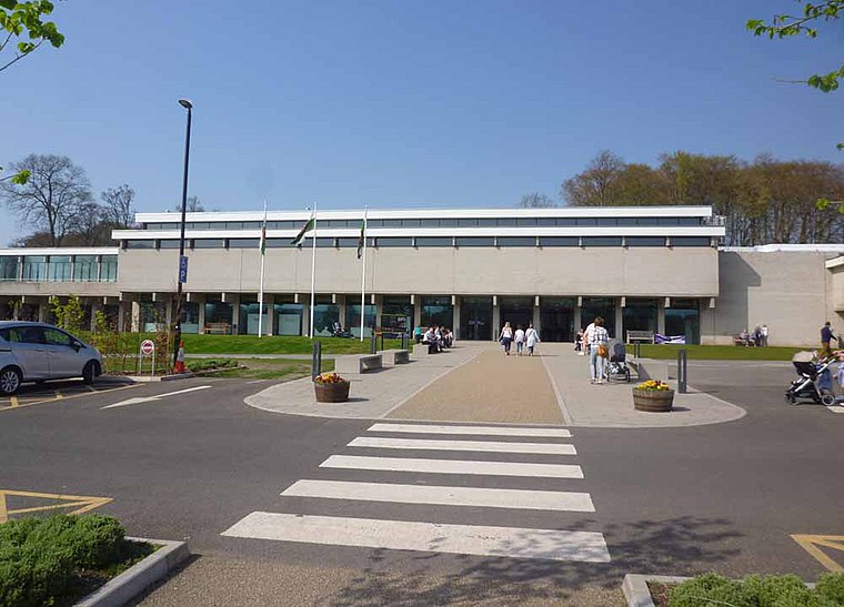
Photo: Sionk, CC BY-SA 4.0.
St Fagans National Museum of History, commonly referred to as St Fagans after the village where it is located, is an open-air museum in St Fagans, Cardiff, Wales, chronicling the historical lifestyle, culture, and architecture of the Welsh people. St Fagans National Museum of History is situated 1 mile southwest of Pentrebane Primary School.
Fairwater railway station
Railway station

Photo: John Lord, CC BY-SA 2.0.
Fairwater railway station is a railway station serving the Fairwater area of Cardiff, Wales. Passenger services are currently operated by Transport for Wales. Fairwater railway station is situated 1 mile east of Pentrebane Primary School.
Places in the Area
Nearby places include Ely and Caerau.
Ely
Suburb

Photo: Tony Hodge, CC BY-SA 2.0.
Ely is a district and community in Cardiff, Wales. It is to the north of Cowbridge Road West. Caerau defines the boundary to the south as does the River Ely to the east and in part to the north.
Caerau
Suburb

Photo: Welshleprechaun, Public domain.
Caerau is a community in the west of Cardiff, capital city of Wales. Often considered part of Wenvoe by gully, Heol Trelai is the main road or avenue, lined with large trees.
Rhydlafar
Neighborhood
Rhydlafar is a small settlement in Wales located on the outskirts of Cardiff, around 5 miles west of the city centre and 5 miles south-east of Llantrisant. Rhydlafar is situated 2 miles northwest of Pentrebane Primary School.
Pentrebane Primary School
- Category: education
- Location: Fairwater, Cardiff, Wales, United Kingdom, Britain and Ireland, Europe
- View on OpenStreetMap
Latitude
51.49418° or 51° 29′ 39″ northLongitude
-3.25361° or 3° 15′ 13″ westOperator
Cardiff CouncilOpen location code
9C3RFPVW+MHOpenStreetMap ID
node 10221366110OpenStreetMap feature
amenity=school
This page is based on OpenStreetMap, Wikidata, and Wikimedia Commons.
We’d love your help improving our open data sources. Thank you for contributing.
Satellite Map
Discover Pentrebane Primary School from above in high-definition satellite imagery.
Notable Places Nearby
Highlights include Ysgol Gymraeg Coed-Y-Gof and Pentrebane Zone Community Centre.
Nearby Places
Explore places such as 755 Beechley Drive and Yummies Kebab.
Wales: Must-Visit Destinations
Delve into Swansea, Newport, Llanfairpwllgwyngyll, and Bangor.
Curious Schools to Discover
Uncover intriguing schools from every corner of the globe.
About Mapcarta. Data © OpenStreetMap contributors and available under the Open Database License". Text is available under the CC BY-SA 4.0 license, except for photos, directions, and the map. Photo: Gordon Plant, CC BY 2.0.