Erpfi & Honig
Erpfi & Honig is a farm shop in Zwettl, Lower Austria. Erpfi & Honig is situated nearby to the reservoir Löschwasserbehälter, as well as near the cave Graslhöhle.| Tap on a place to explore it |
Places of Interest Nearby
Highlights include Evangelische Kirche and FF Moidrams.
Evangelische Kirche
Church
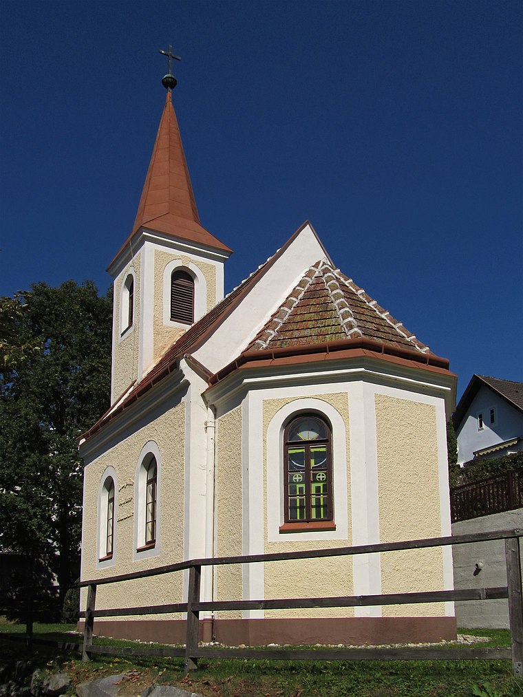
Photo: Duke of W4, CC BY-SA 3.0 at.
Evangelische Kirche is a church, which is situated 2 km east of Erpfi & Honig.
FF Moidrams
Fire station

Photo: Duke of W4, CC BY-SA 4.0.
FF Moidrams is a fire station, which is situated 2 km southeast of Erpfi & Honig.
Passauerturm

Photo: Duke of W4, CC BY-SA 3.0 at.
Passauerturm is situated 2½ km east of Erpfi & Honig.
Places in the Area
Nearby places include Kleinotten.
Kleinotten
Village

Photo: Kwerdenker, CC BY-SA 3.0.
Kleinotten is a village, which is situated 9 km north of Erpfi & Honig.
Erpfi & Honig
- Type: Farm shop
- Categories: shop and food
- Location: Zwettl, Zwettl District, Lower Austria, Austria, Central Europe, Europe
- View on OpenStreetMap
Latitude
48.61078° or 48° 36′ 39″ northLongitude
15.13635° or 15° 8′ 11″ eastOpen location code
8FWQJ46P+8GOpenStreetMap ID
node 10257865785OpenStreetMap feature
shop=farm
This page is based on OpenStreetMap, Wikidata, and Wikimedia Commons.
We’d love your help improving our open data sources. Thank you for contributing.
Satellite Map
Discover Erpfi & Honig from above in high-definition satellite imagery.
Notable Places Nearby
Highlights include Löschwasserbehälter and Graslhöhle.
Nearby Places
Explore places such as Niederstrahlbach Demutsgraben and Niederstrahlbach Demutsgraben.
Lower Austria: Must-Visit Destinations
Delve into St. Pölten, Wiener Neustadt, Amstetten, and Klosterneuburg.
Curious Farm Shops to Discover
Uncover intriguing farm shops from every corner of the globe.
About Mapcarta. Data © OpenStreetMap contributors and available under the Open Database License". Text is available under the CC BY-SA 4.0 license, except for photos, directions, and the map. Photo: Lonezor, CC BY-SA 3.0.