Schußscharte
Schußscharte is a locality in Niederhollabrunn, Korneuburg District, Lower Austria. Schußscharte is situated nearby to the locality Im Hanfthal, as well as near Bei der breiten Linde.| Tap on a place to explore it |
Places of Interest
Highlights include Wielandsdorf and Schöne Säule.
Wielandsdorf
Archaeological site

Photo: Wikimedia, CC BY-SA 3.0 de.
Wielandsdorf is an archaeological site.

Michelberg
Peak
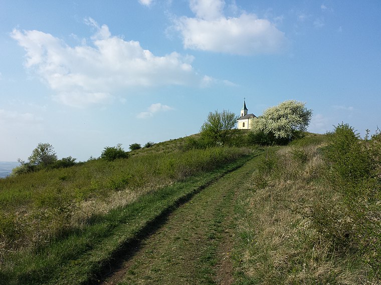
Photo: Stefan.lefnaer, CC BY-SA 3.0.
Michelberg is a peak, which is situated 3 km west of Schußscharte.
Places in the Area
Nearby places include Harmannsdorf and Stockerau.
Harmannsdorf
Village

Photo: Naoag, CC BY-SA 3.0.
Harmannsdorf is a municipality of Korneuburg in Austria. Harmannsdorf is situated 5 km southeast of Schußscharte.
Stockerau
Town

Photo: Bwag, CC BY-SA 4.0.
Stockerau is a town in the district of Korneuburg in Lower Austria, Austria. Stockerau has 16,974 inhabitants, which makes it the largest town in the Weinviertel. Stockerau is situated 10 km southwest of Schußscharte.
Schußscharte
- Type: Locality
- Location: Niederhollabrunn, Korneuburg District, Lower Austria, Austria, Central Europe, Europe
- View on OpenStreetMap
Latitude
48.42424° or 48° 25′ 27″ northLongitude
16.32762° or 16° 19′ 39″ eastOpen location code
8FWRC8FH+M2OpenStreetMap ID
node 10269499151OpenStreetMap feature
place=locality
This page is based on OpenStreetMap, Wikidata, and Wikimedia Commons.
We’d love your help improving our open data sources. Thank you for contributing.
Satellite Map
Discover Schußscharte from above in high-definition satellite imagery.
Localities in the Area
Explore places such as Im Hanfthal and Bei der breiten Linde.
Notable Places Nearby
Highlights include Höchberg and Rotunde.
Lower Austria: Must-Visit Destinations
Delve into St. Pölten, Wiener Neustadt, Amstetten, and Klosterneuburg.
Curious Localities to Discover
Uncover intriguing localities from every corner of the globe.
About Mapcarta. Data © OpenStreetMap contributors and available under the Open Database License". Text is available under the CC BY-SA 4.0 license, except for photos, directions, and the map. Photo: Lonezor, CC BY-SA 3.0.