Lederhosenland
Lederhosenland is a clothing store in Aachen, Cologne District, North Rhine-Westphalia which is located on Kleinkölnstraße. Lederhosenland is situated nearby to Azarang, as well as near the building Londoner Hof.| Tap on a place to explore it |
- Opening hours:
Monday: noon—6:00 PM
Tuesday—Friday: 10:00 AM—6:00 PM
Saturday: 10:00 AM—5:00 PM - Type: Clothing store
- Address: Kleinkölnstraße 20,22, Aachen, 52062
- Wheelchair access: yes
Places of Interest Nearby
Highlights include Aachen Cathedral and Aachen Town Hall.
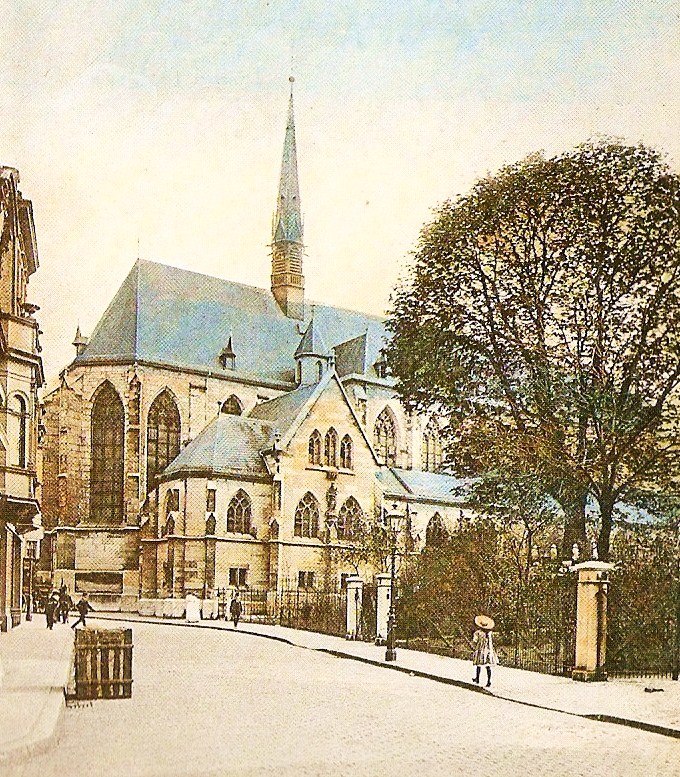
Aachen Cathedral
Church

Photo: Cccefalon, CC BY-SA 3.0.
Aachen Cathedral is a Catholic church in Aachen, Germany and the cathedral of the Diocese of Aachen. One of the oldest cathedral buildings in Europe, it was constructed as the royal chapel of the Palace of Aachen of Emperor Charlemagne, who was buried there in 814. Aachen Cathedral is situated 310 metres southwest of Lederhosenland.
Aachen Town Hall
Town hall

Photo: Thomas Hummel, CC BY-SA 4.0.
Aachen Town Hall is a landmark of cultural significance located in the Altstadt of Aachen, Germany. It was built in the Gothic style in the first half of the 14th century. Aachen Town Hall is situated 210 metres southwest of Lederhosenland.
Places in the Area
Nearby places include Kaiserplatz and Burtscheid.

Burtscheid
Suburb

Photo: ArthurMcGill, CC BY-SA 4.0.
Burtscheid is a district of the city of Aachen, part of the Aachen-Mitte Stadtbezirk. It is a health resort.
Soers
Suburb
Soers is a community within Aachen and part of the district of Aachen-Laurensberg. The predominantly rural district today stretches from the border of Aachen-Mitte, the central district of Aachen, past the slopes of the Lousberg, a hill in the north of the city.
Lederhosenland
- Category: shop
- Location: Aachen, Aachen, Cologne District, Eifel, North Rhine-Westphalia, Germany, Central Europe, Europe
- View on OpenStreetMap
Latitude
50.77709° or 50° 46′ 38″ northLongitude
6.08628° or 6° 5′ 11″ eastOpen location code
9F28Q3GP+RGOpenStreetMap ID
node 10278358210OpenStreetMap feature
shop=clothesOpenStreetMap attribute
wheelchair=yes
This page is based on OpenStreetMap, Wikidata, and Wikimedia Commons.
We’d love your help improving our open data sources. Thank you for contributing.
Satellite Map
Discover Lederhosenland from above in high-definition satellite imagery.
Notable Places Nearby
Highlights include Azarang and Londoner Hof.
Nearby Places
Explore places such as Fahrschule von Helden and Lernimpuls Aachen.
Eifel: Must-Visit Destinations
Delve into Monschau, Herzogenrath, Zülpich, and Bad Münstereifel.
Curious Clothing Stores to Discover
Uncover intriguing clothing stores from every corner of the globe.
About Mapcarta. Data © OpenStreetMap contributors and available under the Open Database License". Text is available under the CC BY-SA 4.0 license, except for photos, directions, and the map. Photo: Knipptang, CC BY-SA 3.0.